Southern California Earthquakes Today
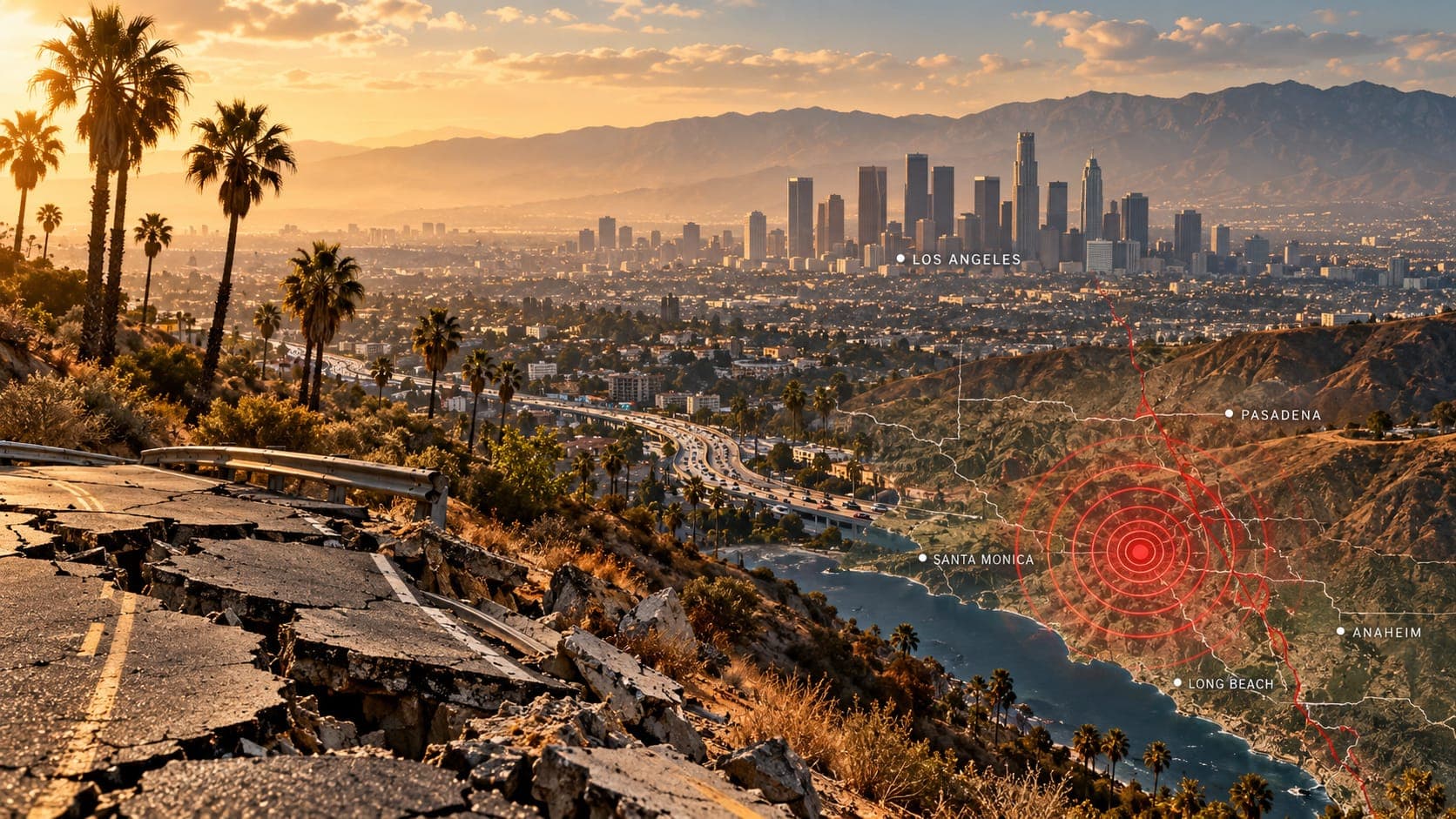
Southern California records thousands of earthquakes every year, almost all too small to notice. Every so often one is large enough to rattle windows across Los Angeles, the Inland Empire or the desert, and people immediately want to know where it was and how big it was.
This page does not list today's earthquakes, because it is a reference article and cannot be updated minute by minute. Instead it shows you where to find verified information quickly, how to read it, and why this region shakes as often as it does.
Quick answer
To see Southern California earthquakes today, open the EQRadar live map, which shows earthquakes reported by the USGS, or check the USGS Latest Earthquakes map and the Southern California Seismic Network (SCSN). First reports are automatic and may change in the first minutes. If you felt shaking, report it to USGS Did You Feel It?
Open the live map of Southern CaliforniaWhere to check today's activity
Earthquakes in Southern California are located by the Southern California Seismic Network, which is run jointly by Caltech and the USGS in Pasadena. Its hundreds of stations feed the USGS national catalog within minutes, so the same events appear on several sites. These are the most reliable places to look:
- The EQRadar live map, centered on Southern California, which displays USGS-reported earthquakes and lets you tap an event for details.
- The USGS Latest Earthquakes map, the official national listing.
- The SCSN website, which adds regional catalogs and background on local faults.
- The earthquake history view if you want to compare today with past weeks or years in the same area.
How to read what you see
Each listing gives a time, a Magnitude, a location and a Depth. Times are often shown in Coordinated Universal Time (UTC). Southern California is 8 hours behind UTC in winter and 7 hours behind during daylight saving time, so an event at 03:00 UTC happened the previous evening locally. Most local earthquakes are shallow, usually less than about 15 kilometers deep, which is one reason even moderate ones are felt strongly.
Pay attention to the review status. A brand-new event is marked automatic: computers picked the arrival times and estimated the size. Within minutes to hours a seismologist reviews it, and the magnitude may move up or down by a few tenths, or the location may shift slightly. That is normal. Larger events often get a ShakeMap showing estimated shaking across the region.
Why Southern California shakes so often
Southern California sits on the boundary between the Pacific and North American plates. Instead of a single crack, the boundary is a wide zone of many faults that together take up the plates' sliding motion. The San Andreas Fault is the biggest, running from the Salton Sea through the Coachella Valley, along the San Bernardino Mountains and across the Tejon Pass area. Parallel to it lie the San Jacinto and Elsinore fault zones, which are also very active.
Near the coast and under the Los Angeles basin are faults that are harder to see, including the Newport-Inglewood fault and hidden thrust faults such as the Puente Hills thrust beneath downtown Los Angeles. In the Mojave Desert, a band of faults called the Eastern California Shear Zone has produced several large earthquakes in recent decades. The east-west Garlock fault marks the northern edge of the Mojave. For an overview, see what causes earthquakes in California.
Notable past earthquakes
History shows that damaging earthquakes can come from many different faults, not only the San Andreas. The table lists some of the best-known events, with approximate magnitudes.
| Year | Name | Approx. magnitude |
|---|---|---|
| 1857 | Fort Tejon (San Andreas Fault) | about 7.9 |
| 1933 | Long Beach (Newport-Inglewood fault) | about 6.4 |
| 1971 | San Fernando | 6.6 |
| 1987 | Whittier Narrows | about 5.9 |
| 1992 | Landers (Mojave Desert) | 7.3 |
| 1994 | Northridge | 6.7 |
| 1999 | Hector Mine (Mojave Desert) | about 7.1 |
| 2019 | Ridgecrest sequence | 6.4 and 7.1 |
Local hazards beyond shaking
Shaking is the main hazard, but it is not the only one. Loose, water-soaked sediments in river valleys, along the coast and in parts of the Los Angeles basin can undergo Liquefaction, which can tilt buildings and break pipes. The steep mountains that ring the basins are prone to landslides and rockfalls, especially after wet winters. Coastal communities face a Tsunami hazard, mostly from very large earthquakes elsewhere around the Pacific; offshore faults could also produce local waves. The California Geological Survey publishes maps of liquefaction, landslide and tsunami zones.
Basins filled with deep sediment, like the Los Angeles and San Fernando valleys, can amplify and prolong shaking. That is part of why the effects of a given earthquake can vary a lot from one neighborhood to the next.
Early warning and alerts
California is covered by ShakeAlert, the USGS earthquake early warning system. When it detects an earthquake already under way, it can send alerts through Wireless Emergency Alerts, the state's MyShake app and Android phones, sometimes giving a few seconds of warning before strong shaking arrives. It does not predict earthquakes. Read more in our ShakeAlert guide.
EQRadar offers in-app alerts for places you save, but they only work while the page is open in your browser, and EQRadar does not send text messages, email or push notifications.
If you felt shaking
If you feel strong shaking, Drop, Cover and Hold On until it stops. Afterward, check yourself and others for injuries, look for hazards such as gas leaks or damaged walls, and expect aftershocks. Then file a report with USGS Did You Feel It? Your report helps scientists map how strongly the earthquake was felt, even for small events. After a larger quake, the USGS often publishes an aftershock forecast, which you can find on our risk page.
Frequently asked questions
How many earthquakes does Southern California have each year?
The SCSN locates roughly 10,000 earthquakes a year in Southern California. Only a few hundred are larger than magnitude 3, and most of the rest are too small for people to feel.
Was today's earthquake on the San Andreas Fault?
Often not. Many felt earthquakes happen on the San Jacinto, Elsinore, Newport-Inglewood or desert faults, or on faults that have not been mapped at the surface. Seismologists usually comment on the likely fault in the hours after a notable event, and the location on the map gives a first clue.
Why did the magnitude change after the first report?
The first number is calculated automatically from limited data. As more stations are analyzed and a seismologist reviews the event, the magnitude is refined, sometimes using a different method that better suits larger earthquakes. Small changes of a few tenths are common.
Does a small earthquake mean a big one is coming?
Usually not. Most small earthquakes are not followed by anything larger. There is a small chance that any earthquake is a Foreshock, which is why the USGS issues aftershock forecasts after notable events, but no one can predict a specific large earthquake.
Key takeaway
Southern California has earthquakes every day, nearly all of them tiny. Check verified USGS and SCSN data rather than social media, expect early numbers to be refined, and use quiet days to prepare for the larger earthquakes that the region's many faults will eventually produce.
Sources
- Southern California Seismic Network — Caltech and U.S. Geological Survey
- Latest Earthquakes — U.S. Geological Survey
- Did You Feel It? — U.S. Geological Survey
- ShakeAlert Earthquake Early Warning — ShakeAlert (USGS and partners)
- California Geological Survey — California Department of Conservation