San Diego Earthquake Today
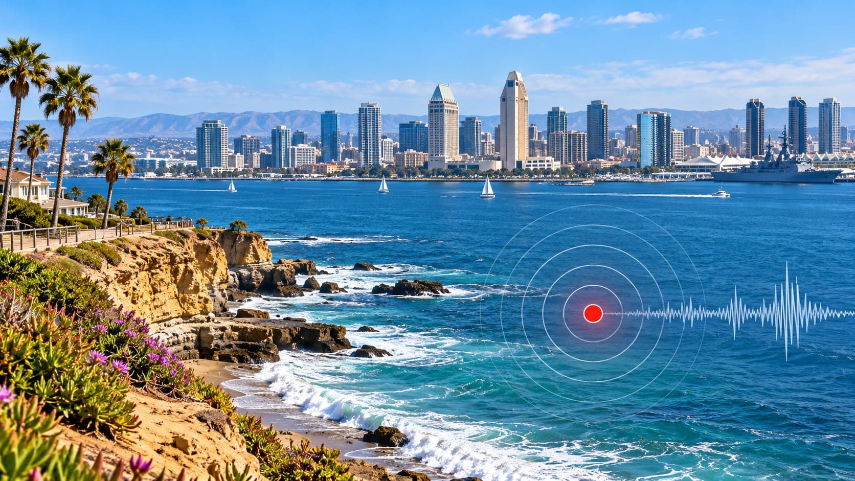
San Diego has fewer felt earthquakes than Los Angeles or the Bay Area, but it is far from quiet. A fault runs right through the city, two of Southern California's busiest fault zones lie inland to the east, and large earthquakes across the border in Baja California are regularly felt along the coast.
This page is a static guide, so it never claims what happened today. It explains where to check verified earthquake information, how to read it, and what makes San Diego's earthquake picture unusual.
Quick answer
To check for a San Diego earthquake today, open the EQRadar live map of USGS-reported earthquakes or the USGS Latest Earthquakes map. The Southern California Seismic Network locates local events, and quakes in northern Baja California also appear. Early magnitudes are automatic and may change. If you felt shaking, file a USGS Did You Feel It? report.
Open the live map of San DiegoChecking verified sources
The EQRadar live map centered on San Diego County shows earthquakes from the USGS catalog. Zoom out a little to include Imperial County and northern Baja California, because many earthquakes felt in San Diego happen there, not in the county itself.
Earthquakes in the region are located by the Southern California Seismic Network, run by Caltech and the USGS. Events south of the border are also recorded by Mexican networks, and large ones appear in the USGS catalog, though their first locations can be a little less precise because there are fewer U.S. stations nearby.
Reading the numbers
A typical listing shows time, Magnitude, location and Depth. If the time is in UTC, subtract 8 hours in winter or 7 hours during daylight saving time for San Diego. The location is often given as a distance from a town, such as a certain number of kilometers from Ocotillo or Borrego Springs, which tells you which fault zone is likely involved.
New events are labeled automatic, then reviewed by seismologists. The magnitude can change by a few tenths during review. A modest event in the desert may produce weaker shaking in San Diego than a smaller one directly beneath the city, because distance matters a great deal. For bigger events, the shaking map shows estimated intensity across the region.
The Rose Canyon fault: a fault through the city
The Rose Canyon fault zone is San Diego's most important local Fault. It comes ashore near La Jolla, runs through the Rose Canyon area, Mission Bay and Old Town, and continues under downtown and San Diego Bay before heading offshore again toward Coronado and Mexico. It is part of a chain of faults that runs along the coast to the Newport-Inglewood fault in the Los Angeles area.
The Rose Canyon fault has not produced a large earthquake in recorded history, but geologic studies show it has ruptured repeatedly in prehistoric times, and the state treats it as active. Because it runs directly beneath the city, a moderate to large earthquake on it would cause much stronger shaking in San Diego than a similar quake in the desert. Offshore faults, such as the Coronado Bank fault, add to the coastal hazard.
Inland faults and Baja California
To the east, the Elsinore fault zone runs from the Temecula area southeast past Julian and into Mexico. Farther east, the San Jacinto fault zone passes through Anza and Borrego Springs and is one of the most active faults in Southern California for small and moderate earthquakes. Beyond them lie the Imperial Valley and the Salton Trough, where the plate boundary creates frequent earthquake swarms.
South of the border, faults in northern Baja California continue the same system. The 2010 El Mayor-Cucapah earthquake, about magnitude 7.2, struck south of Mexicali on Easter Sunday. It caused heavy damage in the Mexicali Valley and in Calexico, and it was felt strongly in San Diego.
| Year | Earthquake | Approx. magnitude |
|---|---|---|
| 1940 | Imperial Valley (Imperial fault) | about 6.9 |
| 1987 | Superstition Hills, Imperial County | about 6.6 |
| 2010 | El Mayor-Cucapah, Baja California | about 7.2 |
Coastal and ground hazards
Parts of Mission Bay, the airport, the downtown waterfront and the shores of San Diego Bay are built on filled land or loose, wet sediments. These areas are more prone to Liquefaction during strong shaking. Coastal bluffs from La Jolla to Encinitas can fail during shaking, adding Landslide risk to an already eroding coastline.
San Diego can also be affected by a Tsunami. Most of the tsunami risk comes from large earthquakes elsewhere around the Pacific, which can cause strong, dangerous currents in harbors and marinas even when waves are small. Check official alerts on our tsunami page. If you are at the coast and feel strong or long shaking, move to high ground or inland right away.
Alerts and reporting what you felt
ShakeAlert covers San Diego and can deliver early warnings through Wireless Emergency Alerts, the MyShake app and Android phones. For an earthquake in the desert or in Baja California, there may be several seconds of warning; for one on the Rose Canyon fault, there may be little or none. Either way, Drop, Cover and Hold On is the right response.
After shaking stops, check for injuries and damage, then add your report to USGS Did You Feel It? Reports from San Diego help scientists understand how shaking from distant desert and Baja earthquakes reaches the coast.
Frequently asked questions
Is there a fault under San Diego?
Yes. The Rose Canyon fault zone runs through La Jolla, Mission Bay, Old Town, downtown and San Diego Bay. It is considered active, although it has not produced a large earthquake in recorded history.
Why do I feel earthquakes in San Diego that happened in Mexico?
The plate boundary continues south into Baja California, and moderate to large earthquakes there are close enough to be felt across San Diego County. The 2010 El Mayor-Cucapah earthquake is the best-known recent example.
Is San Diego safer from earthquakes than Los Angeles?
San Diego generally has fewer felt earthquakes, but it still has significant hazard from the Rose Canyon fault, offshore faults and nearby inland faults. Both cities are in high-hazard areas and should prepare in the same way.
Does San Diego get tsunamis?
Yes, though usually small ones. Distant earthquakes have caused strong currents in San Diego harbors. A large local offshore earthquake could also cause a tsunami, which is why strong shaking at the coast is a signal to move to higher ground.
Key takeaway
San Diego's earthquakes come from a fault beneath the city, busy fault zones to the east and the plate boundary in Baja California. Use verified USGS data to check today's activity, know whether your neighborhood is on fill or near bluffs, and be ready for shaking that may arrive with little warning.
Sources
- Southern California Seismic Network — Caltech and U.S. Geological Survey
- Latest Earthquakes — U.S. Geological Survey
- California Geological Survey — California Department of Conservation
- Tsunami.gov — NOAA National Weather Service