Northern California Earthquakes Today
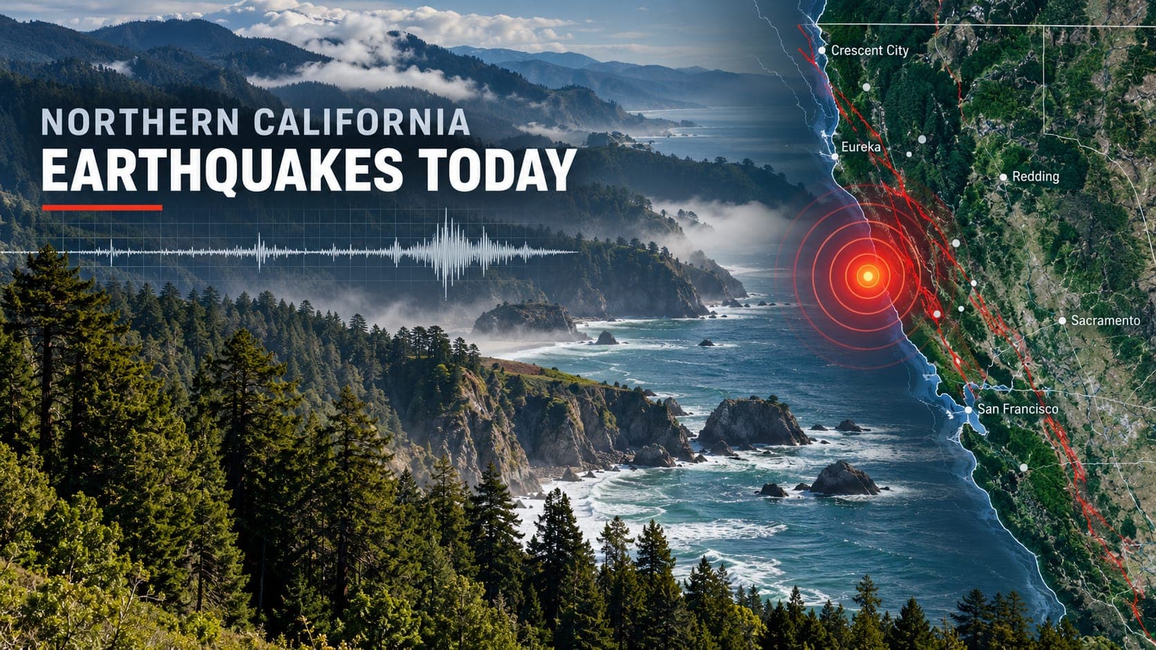
Northern California stretches from Monterey Bay to the Oregon border and from the Pacific coast to the Sierra Nevada. Earthquakes happen across almost all of it, but they cluster in a few busy places: the San Francisco Bay Area, the far north coast around Cape Mendocino, the geothermal field at The Geysers, and volcanic areas in the eastern Sierra.
Because this is a static article, it cannot tell you what happened today. What it can do is point you to the verified sources that track every event in real time and explain what you are looking at when you open them.
Quick answer
For Northern California earthquakes today, open the EQRadar live map, which shows USGS-reported events, or the USGS Latest Earthquakes map. Northern California events are located by the Northern California Seismic System, run by the USGS and the Berkeley Seismology Lab. Early numbers are automatic and may be revised. If you felt shaking, report it to USGS Did You Feel It?
Open the live map of Northern CaliforniaChecking today's earthquakes
The EQRadar live map is centered on Northern California and shows earthquakes from the USGS catalog, usually within minutes of their detection. You can tap any event to see its magnitude, depth, time and review status, and open the history view to compare it with past activity in the same area.
The data comes from the Northern California Seismic System, a partnership between the USGS and the Berkeley Seismology Lab at UC Berkeley. Their combined station network covers the region, and the Northern California Earthquake Data Center archives the records. The USGS Latest Earthquakes map shows the same official events.
Reading an earthquake listing
Listings are often in UTC; Northern California is 8 hours behind UTC in standard time and 7 hours behind in daylight saving time. Look at the Depth as well as the Magnitude: most onshore earthquakes here are shallow, while some events offshore of Cape Mendocino occur deeper within the subducting plate.
A new event first appears as automatic. Seismologists then review it, and the magnitude or location often changes slightly. For offshore earthquakes near Cape Mendocino, where there are fewer nearby stations, early locations can shift more than usual. Larger events get a ShakeMap of estimated shaking.
Cape Mendocino and the Mendocino Triple Junction
Just offshore of Cape Mendocino in Humboldt County, three tectonic plates meet: the Pacific plate, the North American plate and the small Gorda plate, the southern part of the Juan de Fuca plate system. This meeting point, called the Mendocino Triple Junction, is one of the most seismically active places in California. South of it, the San Andreas Fault carries the plate boundary. To the west, the Mendocino fault zone runs out to sea. To the north, the Gorda plate dives beneath North America.
Many of the larger earthquakes in the region happen offshore or within the Gorda plate itself. They are often felt strongly in Eureka, Ferndale, Fortuna and Petrolia, and sometimes as far away as the Bay Area.
The southern end of Cascadia
North of Cape Mendocino begins the Cascadia Subduction zone, which stretches to Vancouver Island in Canada. Its last great earthquake, in January 1700, is estimated at about magnitude 9 and sent a Tsunami across the Pacific to Japan. A future earthquake of that size would cause long, strong shaking along the Humboldt and Del Norte coasts and generate a local tsunami that could arrive within minutes.
The north coast is also exposed to distant tsunamis. Waves from the 1964 Alaska earthquake caused severe damage and deaths in Crescent City. Our Cascadia article explains this source in more detail.
The Bay Area and other active areas
The Bay Area is crossed by the San Andreas, Hayward, Calaveras, Rodgers Creek and other faults, and produces many small earthquakes every week. See our Bay Area page for its faults and soils. Elsewhere, The Geysers geothermal field north of Santa Rosa has frequent small earthquakes linked to geothermal energy production. In the eastern Sierra, the Long Valley Caldera near Mammoth Lakes has periodic earthquake swarms that are watched by the USGS California Volcano Observatory, and you can follow volcanic areas on our volcanoes page.
| Year | Area | Approx. magnitude |
|---|---|---|
| 1868 | Hayward Fault, East Bay | about 6.8 |
| 1906 | San Francisco (San Andreas Fault) | about 7.9 |
| 1989 | Loma Prieta, Santa Cruz Mountains | 6.9 |
| 1992 | Cape Mendocino (Petrolia) | about 7.2 |
| 2014 | South Napa | 6.0 |
| 2022 | Ferndale area, Humboldt County | 6.4 |
| 2024 | Offshore Cape Mendocino | about 7.0 |
Warnings, alerts and staying safe
All of California is covered by ShakeAlert earthquake early warning, which can send alerts to phones through Wireless Emergency Alerts, the MyShake app and Android devices seconds before strong shaking arrives. Tsunami warnings come from the NOAA tsunami warning centers, and you can see official alerts on our tsunami page.
If you feel shaking, Drop, Cover and Hold On. On the coast, if shaking is strong or lasts a long time, do not wait for an official warning: move to high ground or inland as soon as the shaking stops. Afterward, report what you felt to USGS Did You Feel It? and watch for aftershocks.
Frequently asked questions
Why does Humboldt County have so many earthquakes?
It sits next to the Mendocino Triple Junction, where three plates meet and the San Andreas Fault, the Mendocino fault zone and the Cascadia subduction zone all come together. The Gorda plate is also being squeezed and broken internally, which produces frequent moderate earthquakes offshore.
Can a Northern California earthquake cause a tsunami?
Yes. A large Cascadia earthquake would cause a local tsunami on the north coast, and some offshore earthquakes can trigger tsunami warnings. Most earthquakes, including most offshore ones, do not produce a damaging tsunami. Follow official alerts and natural warnings like strong, long shaking.
Why are there so many small earthquakes at The Geysers?
The Geysers is a large geothermal power area. Producing steam and injecting water back into the hot rock changes stresses underground and triggers many small earthquakes. They are closely monitored and are usually too small to feel far away.
Who locates earthquakes in Northern California?
The Northern California Seismic System, run by the USGS and the Berkeley Seismology Lab, locates them. Its results feed the national USGS catalog that EQRadar and the USGS Latest Earthquakes map display.
Key takeaway
Northern California has several very different earthquake sources, from Bay Area faults to the Mendocino Triple Junction and the southern end of Cascadia. Check verified USGS data for today's activity, and prepare for both strong shaking and, on the coast, tsunamis.
Sources
- Latest Earthquakes — U.S. Geological Survey
- Berkeley Seismology Lab — University of California, Berkeley
- Northern California Earthquake Data Center — UC Berkeley and U.S. Geological Survey
- Did You Feel It? — U.S. Geological Survey
- Tsunami.gov — NOAA National Weather Service