What Causes Earthquakes in California?
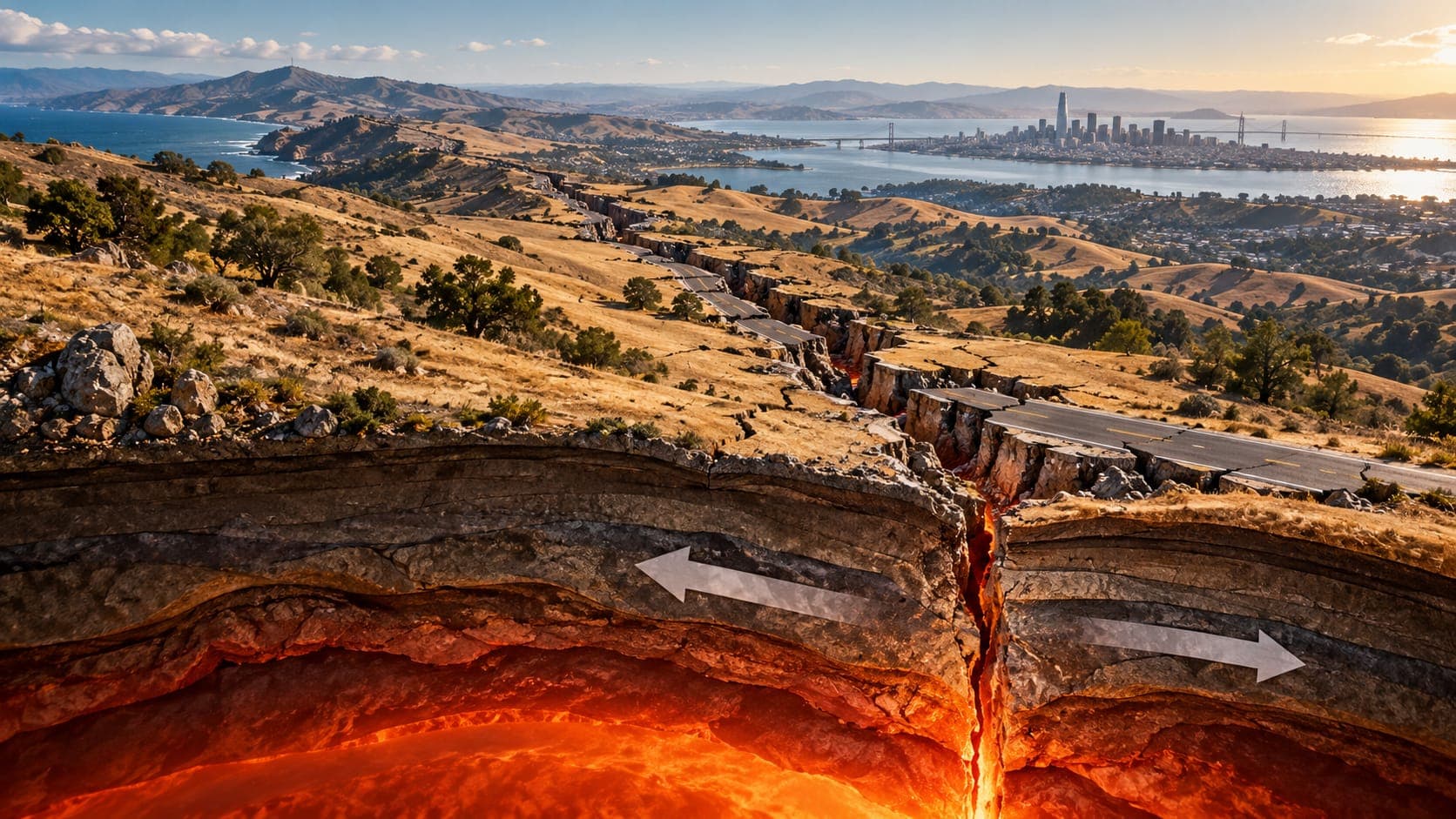
California has thousands of earthquakes each year, most too small to feel and a few strong enough to cause damage. They all trace back to one big cause: California sits on the boundary between two of Earth's great tectonic plates.
This article explains how that boundary works, why it produces different kinds of earthquakes in different parts of the state, and why the hazard is spread across a wide zone rather than a single fault.
Quick answer
Earthquakes in California are caused by the Pacific Plate grinding northwest past the North American Plate at roughly 3 to 5 centimeters per year. That motion is taken up by the San Andreas Fault and many other faults. Where the boundary bends, the crust is squeezed into thrust faults, and in the far north the Cascadia Subduction Zone adds a different kind of earthquake source.
Recent earthquakes in CaliforniaTwo plates sliding past each other
Earth's outer shell is broken into large tectonic plates that move slowly over the hotter rock beneath them. Most of California sits on the North American Plate, but a strip along the coast, including Los Angeles, San Diego, Santa Barbara and the Point Reyes peninsula, rides on the Pacific Plate.
Relative to North America, the Pacific Plate moves toward the northwest at roughly 3 to 5 centimeters per year across the whole boundary. That is slow on a human scale, but over a million years it adds up to tens of kilometers. Because the edges of the plates are locked by friction, the rocks along the boundary bend and store strain, and earthquakes happen when faults suddenly slip to release it.
A transform boundary
Where plates slide horizontally past each other, geologists call the boundary a transform boundary. In California, the main transform fault is the San Andreas, which runs about 1,200 kilometers (roughly 750 miles) from the Salton Sea to Cape Mendocino. It carries a large share of the plate motion.
Transform boundaries mostly produce strike-slip earthquakes, in which the ground moves sideways. They do not create or destroy plate, which is why California is not sinking into the ocean or being pushed out of it. Instead, the coastal strip on the Pacific Plate is slowly moving northwest along the rest of the state.
At its ends, the San Andreas connects to other kinds of boundaries. To the south, a series of short spreading centers and transform faults in the Gulf of California is slowly opening the gulf. To the north, the San Andreas ends near Cape Mendocino, where three plates meet.
A wide zone, not a single line
The San Andreas does not take all of the motion. Other faults running roughly parallel to it, such as the Hayward and Calaveras faults east of San Francisco Bay and the San Jacinto Fault in Southern California, carry part of it, and so do faults farther east in the desert and offshore. That is why damaging earthquakes in California happen on so many different faults. Our article on earthquake fault lines in California introduces the major ones.
| Part of the system | Type of motion | Example earthquakes |
|---|---|---|
| San Andreas Fault | Sideways (right-lateral) | 1857 Fort Tejon, 1906 San Francisco |
| Other faults parallel to the San Andreas | Mostly sideways | 1868 Hayward, 1940 El Centro |
| Big Bend and Transverse Ranges | Squeezing (thrust) | 1971 San Fernando, 1994 Northridge |
| Eastern California Shear Zone and Walker Lane | Mostly sideways, plus some stretching | 1872 Owens Valley, 1992 Landers, 2019 Ridgecrest |
| Cascadia Subduction Zone (far north) | One plate diving under another | January 1700, about M9 |
The Big Bend and Southern California's thrust faults
North of Los Angeles, the San Andreas bends to a more east-west direction for a stretch through the Transverse Ranges. Because the plates are trying to move northwest past each other, this bend acts like a kink in the boundary. The crust is squeezed, which pushes up mountains such as the San Gabriel Mountains and creates thrust faults where one block is driven up over another.
Many of those thrust faults lie beneath the Los Angeles and Ventura areas, and some are blind thrusts that do not reach the surface. The 1994 Northridge earthquake happened on one of them. So in Southern California, the plate boundary causes not just sideways earthquakes on the San Andreas but also thrust earthquakes under populated basins.
Eastern California and the Walker Lane
East of the Sierra Nevada and across the Mojave Desert, a band of faults called the Eastern California Shear Zone, which continues north as the Walker Lane along the California-Nevada border, takes up a meaningful fraction of the plate motion. Here the crust is also being stretched as part of the broader Basin and Range region, which creates valleys bounded by faults, such as the Owens Valley.
This zone has produced several large earthquakes in recent decades, including the magnitude 7.3 Landers earthquake in 1992 and the magnitude 7.1 Ridgecrest earthquake in 2019. Some scientists think it may gradually take on a larger share of the plate motion over very long geologic time.
The far north: Cascadia
North of Cape Mendocino, the boundary changes character. Offshore, the small Gorda and Juan de Fuca plates are sinking beneath North America along the Cascadia Subduction Zone, which runs from northern California to Vancouver Island. The Cape Mendocino area, where the San Andreas, the Mendocino transform fault and Cascadia meet, is one of the most seismically active parts of California.
Subduction zones can produce much larger earthquakes than the San Andreas, along with tsunamis. See our article on the Cascadia Subduction Zone earthquake. If you are on the north coast and feel strong or long shaking, go to high ground as soon as it stops.
Putting it together
You can see the plate boundary in action on the EQRadar live map of California. Small earthquakes trace the San Andreas creeping section in central California, cluster in the Bay Area, Southern California and the Imperial Valley, line the eastern Sierra, and gather offshore near Cape Mendocino. Our lesson on how plates move covers the basic boundary types.
Because the cause is ongoing plate motion, earthquakes in California will continue. That is why the state invests in building codes, early warning and preparedness, and why practicing Drop, Cover and Hold On is worthwhile for everyone who lives there.
Frequently asked questions
Why does California have so many earthquakes?
California straddles the boundary between the Pacific and North American plates. Their constant sideways motion builds strain across a wide zone of faults, and earthquakes release it. Most are small, but the same process produces occasional large ones.
Will Los Angeles and San Francisco eventually meet?
Los Angeles is on the Pacific Plate and San Francisco is mostly on the North American Plate, so Los Angeles is slowly moving northwest relative to San Francisco. At a few centimeters per year, it would take millions of years for them to be side by side.
Is California going to fall into the ocean?
No. The San Andreas is a transform boundary where the plates slide sideways past each other. Nothing is pulling the state into the sea.
Are there earthquakes in California not caused by plate motion?
Nearly all are tied to plate-boundary stresses, but some are linked to volcanic areas such as Long Valley and the Coso region, to geothermal operations such as The Geysers, or to other local processes.
Key takeaway
California's earthquakes come from the Pacific Plate sliding northwest past the North American Plate. The San Andreas carries a large share of that motion, but the boundary is a wide zone that includes thrust faults at the Big Bend, the Eastern California Shear Zone and Walker Lane, and the Cascadia Subduction Zone in the far north.
Sources
- Earthquake Hazards Program — U.S. Geological Survey
- Faults — U.S. Geological Survey
- California Geological Survey — California Department of Conservation