Bay Area Earthquake Today
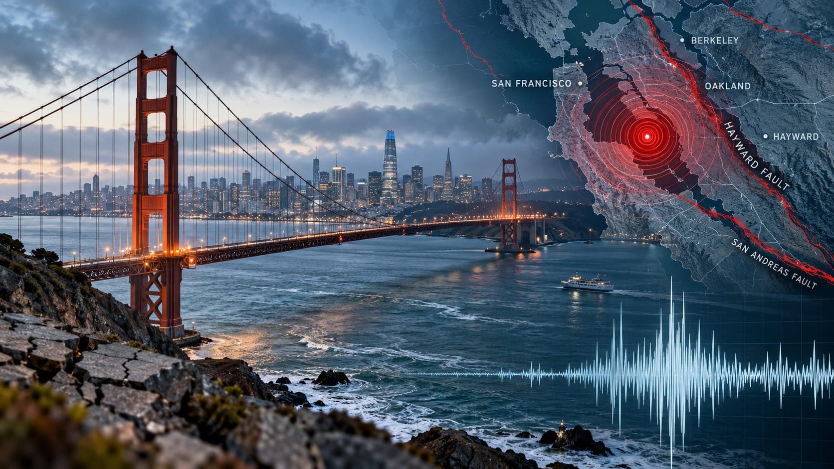
Small earthquakes are a routine part of life in the San Francisco Bay Area. Most are too faint to feel, but a few each year are strong enough to rattle dishes from Santa Rosa to Gilroy and send thousands of people searching for answers within seconds.
Because this is a fixed reference page, it does not list today's earthquakes. It shows you how to check verified data, explains what the numbers mean, and describes the fault network and soft ground that shape the Bay Area's hazard.
Quick answer
For a Bay Area earthquake today, open the EQRadar live map, which shows USGS-reported earthquakes, or the USGS Latest Earthquakes map. Bay Area events are located by the USGS and the Berkeley Seismology Lab. First magnitudes are automatic and may be revised. If you felt it, report it to USGS Did You Feel It?
Open the live map of the Bay AreaWhere verified Bay Area data comes from
The Bay Area is one of the most densely instrumented earthquake regions in the world. The Northern California Seismic System, a partnership of the USGS and the Berkeley Seismology Lab, runs a dense network of stations around the bay. Its locations flow into the national USGS catalog, usually within minutes, and the Northern California Earthquake Data Center archives the records for scientists.
To see that data, open the EQRadar live map, the USGS Latest Earthquakes map or the Berkeley Seismology Lab's pages. Avoid relying on social media posts for magnitudes; they are often guesses based on what someone felt.
Understanding what a listing tells you
When you open an event, check four things:
- Time: many feeds use UTC, which is 7 hours ahead of Bay Area time in summer and 8 hours ahead in winter.
- Location: the Epicentre is usually given as a distance and direction from a town, such as Berkeley, San Ramon or Gilroy, which hints at the fault involved.
- Depth: most Bay Area earthquakes are shallow, generally within the upper 15 kilometers or so of the crust, which is why even magnitude 3 events are often felt.
- Status: automatic results come first, then a seismologist reviews them. The Magnitude may change by a few tenths. See the Review status entry in our glossary.
A network of faults, not just one
The boundary between the Pacific and North American plates is spread across the whole Bay Area. The San Andreas Fault runs along the Peninsula and offshore of San Francisco. On the east side of the bay, the Hayward Fault runs beneath Berkeley, Oakland, Hayward and Fremont, and continues north across the bay as the Rodgers Creek fault through Santa Rosa. The Calaveras Fault runs through the San Ramon Valley and south toward Hollister. Farther east are the Concord-Green Valley and Greenville faults, and in the North Bay, the West Napa fault. Offshore, the San Gregorio fault lies along the San Mateo coast.
Some of these faults, especially the Hayward and parts of the Calaveras, slowly creep at the surface, gradually bending curbs and buildings over decades. Creep releases only part of the strain, so these faults can still produce large earthquakes. The USGS has estimated about a 72 percent chance of at least one magnitude 6.7 or larger earthquake in the Bay Area in the 30 years from 2014 to 2043. That is a Forecast based on long-term rates, not a prediction of a specific date.
Bay mud, fill and liquefaction
Much of the shoreline around the bay was built by filling in marshes and shallow water. Neighborhoods and facilities on this artificial fill, or on the soft clay known as bay mud, can shake more strongly than nearby areas on rock. In the 1989 Loma Prieta earthquake, the Marina District of San Francisco, built partly on fill, suffered fires and collapsed buildings, and Liquefaction damaged parts of the waterfront and Treasure Island. The Cypress Street Viaduct in Oakland, which stood on soft ground, collapsed, and a section of the Bay Bridge fell.
Today, the California Geological Survey maps liquefaction and Landslide zones across the Bay Area, and buyers are told when a property lies in one. Hillside neighborhoods in the East Bay hills and the Peninsula face landslide risk, especially after wet winters. Coastal areas and parts of the bay shoreline also have mapped Tsunami hazard zones.
Past earthquakes that shaped the Bay Area
The 1906 earthquake on the San Andreas Fault, about magnitude 7.9, and the fires that followed destroyed much of San Francisco. The 2014 South Napa earthquake, magnitude 6.0, on the West Napa fault damaged historic buildings in downtown Napa and was the largest Bay Area earthquake since 1989. Our 1906 article tells that story in detail.
| Year | Earthquake and fault | Approx. magnitude |
|---|---|---|
| 1868 | Hayward Fault | about 6.8 |
| 1906 | San Francisco (San Andreas Fault) | about 7.9 |
| 1984 | Morgan Hill (Calaveras Fault) | about 6.2 |
| 1989 | Loma Prieta (Santa Cruz Mountains) | 6.9 |
| 2014 | South Napa (West Napa fault) | 6.0 |
Warnings and what to do
The Bay Area is covered by ShakeAlert, which can send early warnings to phones through Wireless Emergency Alerts, the MyShake app (developed at UC Berkeley) and Android devices. Warning times range from none near the epicenter to several seconds farther away. When you feel shaking or get an alert, Drop, Cover and Hold On.
Afterward, check for injuries, gas leaks and damage, and expect aftershocks. Share what you felt with USGS Did You Feel It?, and check our risk page for any official USGS aftershock forecast after a notable event.
Frequently asked questions
Why does the Bay Area have so many small earthquakes?
Several active faults cross the region, and some, like the Calaveras and Hayward, creep and release strain in many small earthquakes. A dense network of stations also detects very small events that would go unrecorded in many other places.
Which Bay Area fault is most likely to cause the next big earthquake?
USGS studies have identified the Hayward-Rodgers Creek fault system as one of the most likely sources of the next large Bay Area earthquake, but large quakes are also possible on the San Andreas, Calaveras and other faults. No one can say which fault will rupture next or when.
Is my house on bay fill?
Check the California Geological Survey's earthquake hazard zone maps for your address. Many areas near the historical shoreline, including parts of San Francisco, Oakland, Alameda, Foster City and the South Bay, are built on fill or bay mud.
Does feeling an earthquake in San Francisco mean it was centered there?
Not necessarily. Earthquakes in the East Bay, the South Bay or the North Bay are often felt across the whole region. The epicenter on the map is the best guide to where it actually started.
Key takeaway
The Bay Area sits on a whole network of active faults, and much of its shoreline is built on soft ground. Check today's activity with verified USGS and Berkeley data, know whether your home is on fill or a hillside, and prepare for a large earthquake that the USGS considers likely in the coming decades.
Sources
- Berkeley Seismology Lab — University of California, Berkeley
- Northern California Earthquake Data Center — UC Berkeley and U.S. Geological Survey
- Latest Earthquakes — U.S. Geological Survey
- California Geological Survey — California Department of Conservation
- ShakeAlert Earthquake Early Warning — ShakeAlert (USGS and partners)