San Jose Earthquake Today
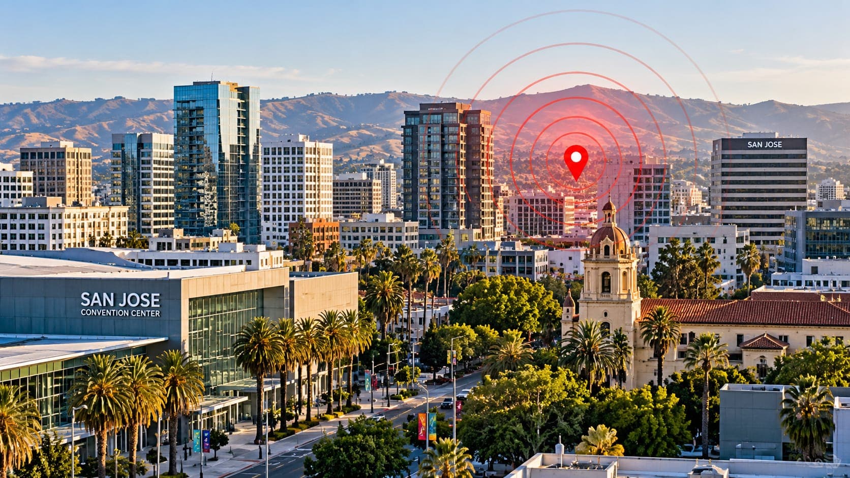
San Jose sits in the Santa Clara Valley, between two mountain ranges that were built by active faults. Residents feel small earthquakes from time to time, most often a quick jolt from the hills east of the city. When that happens, the first question is usually simple: was that an earthquake, and how big?
This article cannot report today's events, since it is a fixed reference page. It explains how to look them up in verified sources, how to make sense of the details, and which faults matter most for San Jose.
Quick answer
To check for a San Jose earthquake today, open the EQRadar live map, which shows USGS-reported earthquakes, or the USGS Latest Earthquakes map. Many local events are on the Calaveras Fault east of the city. First reports are automatic and can change. If you felt it, submit a report to USGS Did You Feel It?
Open the live map of San JoseHow to look up today's earthquakes
Open the EQRadar live map, which is centered on San Jose and shows events from the USGS catalog. Earthquakes in the area are located by the Northern California Seismic System, operated by the USGS and the Berkeley Seismology Lab, and usually appear within a few minutes. The USGS Latest Earthquakes map shows the same official data.
If you felt something but see nothing on the map, wait a few minutes and refresh. Very small earthquakes can take longer to appear, and some jolts turn out to be trucks, construction or a sonic boom rather than an earthquake.
Making sense of the details
Check the time zone first: many sources show UTC, which is 7 or 8 hours ahead of San Jose depending on daylight saving time. Then look at the Epicentre. An event labeled a few kilometers east of a place such as Alum Rock or Milpitas is probably on the Calaveras or Hayward fault system, while one near Los Gatos or the Santa Cruz Mountains may be near the San Andreas.
The Magnitude you see first is an automatic estimate. After review, it may change by a few tenths, and the label changes from automatic to reviewed. What you felt depends on more than magnitude: distance, Depth and the ground under your building all matter. Our lesson on magnitude vs intensity explains the difference.
The faults around San Jose
Three major faults shape the hazard. Each is part of the wide boundary between the Pacific and North American plates.
- Calaveras Fault: runs along the eastern edge of the valley through the Diablo Range foothills. It is one of the most active faults in the Bay Area for small and moderate earthquakes, and it produced the 1984 Morgan Hill earthquake of about magnitude 6.2 and the 2007 Alum Rock earthquake of about magnitude 5.4.
- Hayward Fault: its southern end reaches the Fremont and Milpitas area, just north of San Jose. It produced an earthquake of about magnitude 6.8 in 1868 and is considered one of the most dangerous faults in the region because it runs through dense neighborhoods.
- San Andreas Fault: crosses the Santa Cruz Mountains southwest of the city. The 1989 Loma Prieta earthquake, magnitude 6.9, occurred deep beneath those mountains near this part of the fault.
Earthquakes that shook San Jose
The 1906 San Francisco earthquake, about magnitude 7.9, caused heavy damage in San Jose, including at Agnews State Hospital, where many people died. In 1989 the Loma Prieta earthquake damaged homes and older buildings in Los Gatos and across the South Bay. The 2007 Alum Rock earthquake, centered in the hills east of San Jose, was widely felt and caused only minor damage, but it was a useful reminder of how close the Calaveras Fault is.
| Year | Earthquake | Approx. magnitude |
|---|---|---|
| 1868 | Hayward Fault | about 6.8 |
| 1906 | San Francisco (San Andreas Fault) | about 7.9 |
| 1984 | Morgan Hill (Calaveras Fault) | about 6.2 |
| 1989 | Loma Prieta (Santa Cruz Mountains) | 6.9 |
| 2007 | Alum Rock (Calaveras Fault) | about 5.4 |
Why the valley floor matters
The Santa Clara Valley is filled with deep layers of sand, gravel and clay washed down from the surrounding hills. These sediments can amplify shaking compared with bedrock in the hills, so two neighborhoods the same distance from an earthquake may feel it quite differently.
Near the southern tip of San Francisco Bay, including areas around Alviso and along creeks such as Coyote Creek and the Guadalupe River, loose, water-saturated soils are more prone to Liquefaction. The California Geological Survey maps these zones, and they are worth checking if you are buying a home or planning a retrofit. Hillside neighborhoods face a different issue: landslides during strong shaking, especially after heavy rain.
Alerts and what to do
San Jose is covered by ShakeAlert, which can send early warnings through Wireless Emergency Alerts, the MyShake app and Android phones. Because the Calaveras and Hayward faults are so close, warning time for a nearby earthquake may be very short or zero, so practicing Drop, Cover and Hold On still matters most.
After shaking, check for injuries and hazards, and expect aftershocks. Report your experience to USGS Did You Feel It? For a moderate or larger event, the USGS may publish an aftershock forecast, which you can view on our risk page. EQRadar can also show in-app alerts for a saved place while the page is open; it does not send texts or push notifications.
Frequently asked questions
Which fault causes most of the earthquakes felt in San Jose?
Most of the small earthquakes people notice come from the Calaveras Fault and nearby faults in the hills east of the city. Larger damaging earthquakes in the past have also come from the San Andreas and Hayward faults.
Was the 1989 Loma Prieta earthquake in San Jose?
No. It was centered in the Santa Cruz Mountains, roughly 20 miles south of downtown San Jose. It still caused damage across the South Bay, especially in Los Gatos and older buildings in the region.
Is downtown San Jose at risk of liquefaction?
Some parts of the valley floor, especially near the bay and along creeks with loose, wet sediments, are mapped as liquefaction zones. Check the California Geological Survey hazard maps for a specific address rather than assuming the whole city has the same risk.
Why did I feel a small earthquake that others did not?
Small earthquakes are felt most by people who are still, indoors and on upper floors. Soil conditions under your building and your distance from the epicenter also make a difference.
Key takeaway
San Jose is close to three major faults, and small earthquakes from the Calaveras Fault are a normal part of life there. Use verified USGS data to check today's activity, know the ground under your home, and keep Drop, Cover and Hold On ready, because nearby quakes may give little warning.
Sources
- Latest Earthquakes — U.S. Geological Survey
- Berkeley Seismology Lab — University of California, Berkeley
- California Geological Survey — California Department of Conservation
- Did You Feel It? — U.S. Geological Survey