Alaska Earthquakes Today
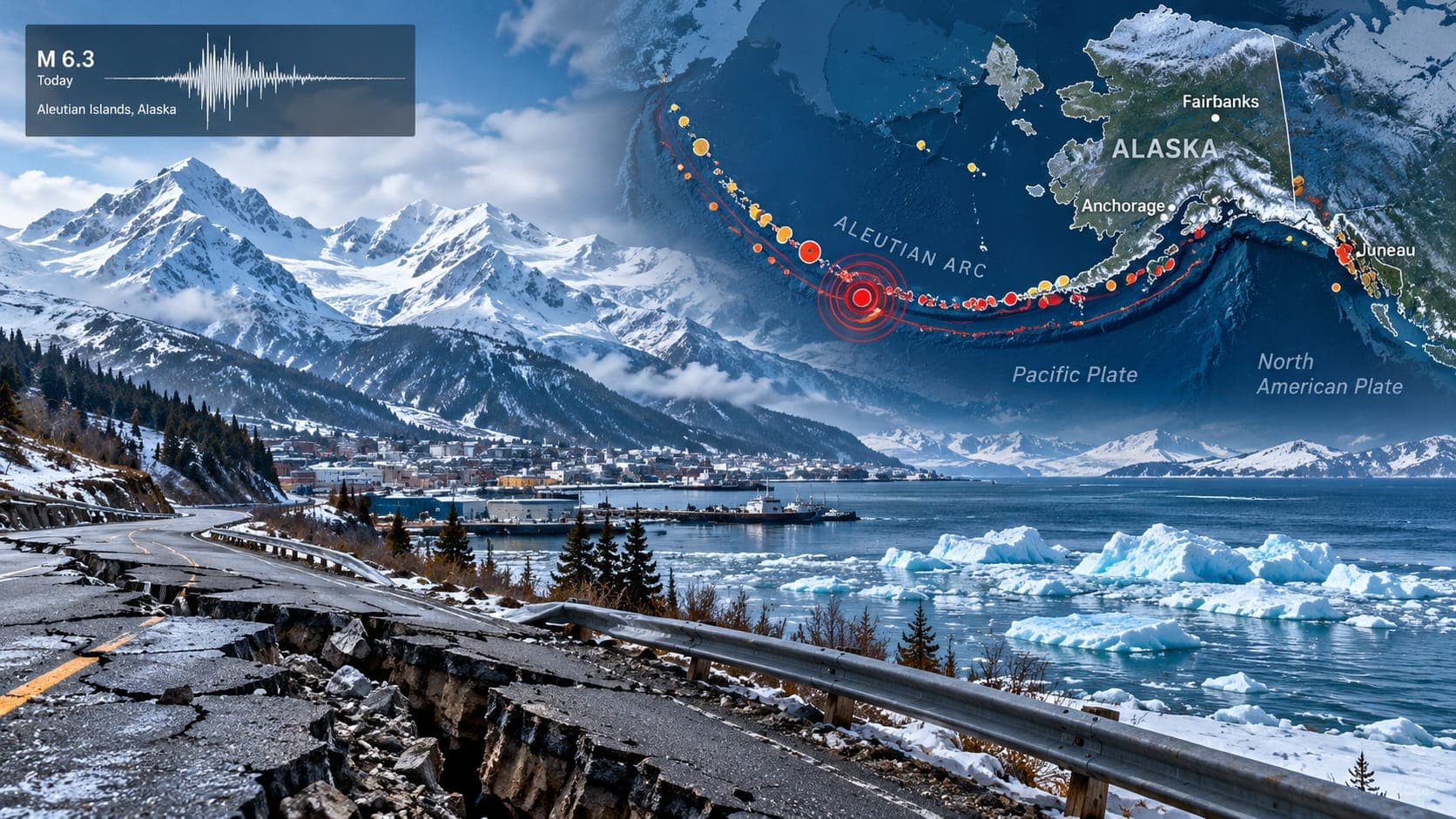
Alaska has more earthquakes than any other U.S. state, and it has had the largest ones. On a typical day, monitoring networks record many earthquakes across the state, from tiny events in the Interior to moderate ones far out along the Aleutian Islands. Most are never felt by anyone, either because they are small or because they happen far from towns.
This article is a static reference, so it does not report today's earthquakes. It explains where to find verified information, how to read it in a state that spans several thousand kilometers, and what drives Alaska's earthquakes, tsunamis and volcanoes.
Quick answer
To check Alaska earthquakes today, open the EQRadar live map of USGS-reported earthquakes, the USGS Latest Earthquakes map or the Alaska Earthquake Center at the University of Alaska Fairbanks. For tsunami threats, rely on official alerts from the National Tsunami Warning Center. If you felt shaking, report it to USGS Did You Feel It?
Open the live map of AlaskaWhere to look for today's Alaska earthquakes
The Alaska Earthquake Center at the University of Alaska Fairbanks operates the state seismic network and locates earthquakes across Alaska, working with the USGS. Its results feed the USGS catalog, which the EQRadar live map displays. The Center's own website also shows recent earthquakes and explains notable events, often with more local detail.
Alaska is huge, so zoom in on the area you care about, such as Anchorage, the Kenai Peninsula, Fairbanks or Kodiak. A magnitude 5 out in the western Aleutians may be hundreds of kilometers from the nearest town, while a magnitude 4 under the Matanuska-Susitna Valley can be felt by many people.
Reading an Alaska earthquake listing
Most of Alaska uses Alaska Time, which is 9 hours behind UTC in winter and 8 hours behind in summer. The western Aleutians use Hawaii-Aleutian Time, one hour earlier. Check whether a listing shows UTC or local time before comparing it with what you felt.
Depth is especially important in Alaska. Because the Pacific plate sinks beneath the state, many earthquakes under Anchorage and Cook Inlet occur tens of kilometers deep, and some are well over 100 kilometers deep. Deep earthquakes tend to be felt over wide areas but with gentler shaking than a shallow quake of the same size. Our 3D depth explorer shows this sinking slab clearly. As elsewhere, the first Magnitude is automatic and may change after review, and remote events can take a little longer to refine.
Why Alaska has so many earthquakes
Along the Aleutian Trench, the Pacific plate dives beneath the North American plate in a Subduction zone that stretches from the Gulf of Alaska to the far western Aleutians. This megathrust boundary produces most of Alaska's largest earthquakes. The sinking plate also generates deeper earthquakes under the mainland, like the one that struck Anchorage in 2018.
Inland, the crust is broken by large faults, including the Denali fault, which produced a magnitude 7.9 earthquake in 2002. Southeast Alaska is bordered by the Queen Charlotte-Fairweather fault system, where the plates slide past each other. Read more about plate boundaries in our lesson on how plates move.
Alaska's great earthquakes
The 1964 Great Alaska Earthquake on March 27, magnitude 9.2, is the largest earthquake in U.S. history and the second-largest ever recorded worldwide. It lasted several minutes, caused landslides in Anchorage and lifted or dropped large areas of the coast. Most of the deaths were caused by tsunamis, which struck Alaskan towns such as Valdez, Seward and Chenega and traveled as far as California.
| Year | Location | Approx. magnitude |
|---|---|---|
| 1964 | Prince William Sound (Great Alaska Earthquake) | 9.2 |
| 1965 | Rat Islands, Aleutians | about 8.7 |
| 2002 | Denali fault, Interior Alaska | 7.9 |
| 2018 | Gulf of Alaska, offshore Kodiak | 7.9 |
| 2018 | Anchorage area (deep, under the Mat-Su) | 7.1 |
| 2021 | Chignik, Alaska Peninsula | 8.2 |
Tsunamis and volcanoes
The National Tsunami Warning Center in Palmer, Alaska, issues tsunami alerts for Alaska and the rest of the U.S. mainland coasts. A large earthquake along the Aleutian subduction zone can send a Tsunami onto nearby shores within minutes. If you are on the coast and feel strong shaking or shaking that lasts a long time, move to high ground or inland immediately without waiting for an official warning. Our tsunami page shows official NOAA alerts.
Alaska also has more than 50 volcanoes that have been active in historical times, most of them along the Aleutian arc. The Alaska Volcano Observatory, a partnership of the USGS, the University of Alaska Fairbanks and the state geological survey, watches them closely. Earthquake swarms beneath a volcano are often one of the first signs of unrest. See our volcanoes page and the lesson on volcanoes and earthquakes.
If you felt an earthquake in Alaska
Drop, Cover and Hold On until shaking stops. In winter, think ahead about staying warm if power fails, and in hilly areas watch for landslides and rockfalls. After the shaking, check for injuries and damage, and expect aftershocks; after the 2018 Anchorage earthquake, thousands of aftershocks were recorded in the following months. Report your experience to USGS Did You Feel It?, and check our risk page for any official aftershock forecast.
ShakeAlert, the USGS early warning system, was built for California, Oregon and Washington; check its website for the current coverage area. Either way, many Alaska earthquakes strike close to where people live, so preparation and quick reactions matter most.
Frequently asked questions
Does Alaska really have more earthquakes than California?
Yes. Alaska records more earthquakes than any other state and has had far more large ones, including the biggest in U.S. history. Many happen offshore or in remote areas, so they affect fewer people than California's quakes.
Why are so many Alaska earthquakes deep?
The Pacific plate sinks beneath Alaska and keeps breaking as it descends. Earthquakes inside that sinking slab can be tens to more than a hundred kilometers deep, which is why many quakes under Anchorage and Cook Inlet are deep.
Will an Alaska earthquake cause a tsunami?
Most do not. Tsunamis usually require a large, shallow earthquake under the sea, often magnitude 7 or more, that moves the seafloor. The National Tsunami Warning Center evaluates every significant event, so follow its official messages rather than rumors.
Who should I follow for Alaska earthquake information?
The Alaska Earthquake Center for earthquakes, the National Tsunami Warning Center and tsunami.gov for tsunami alerts, and the Alaska Volcano Observatory for volcanic activity. The USGS catalog brings the earthquake data together.
Key takeaway
Alaska is the most earthquake-prone U.S. state, with frequent deep and offshore quakes, a long history of great earthquakes, tsunamis and active volcanoes. Check verified data from the Alaska Earthquake Center and USGS, follow official tsunami alerts, and react to strong coastal shaking by heading for high ground.
Sources
- Alaska Earthquake Center — University of Alaska Fairbanks
- Latest Earthquakes — U.S. Geological Survey
- Tsunami.gov — NOAA National Weather Service
- ShakeAlert Earthquake Early Warning — ShakeAlert (USGS and partners)
- Alaska Volcano Observatory — USGS, University of Alaska Fairbanks and Alaska Division of Geological & Geophysical Surveys