Philippines Earthquake Today
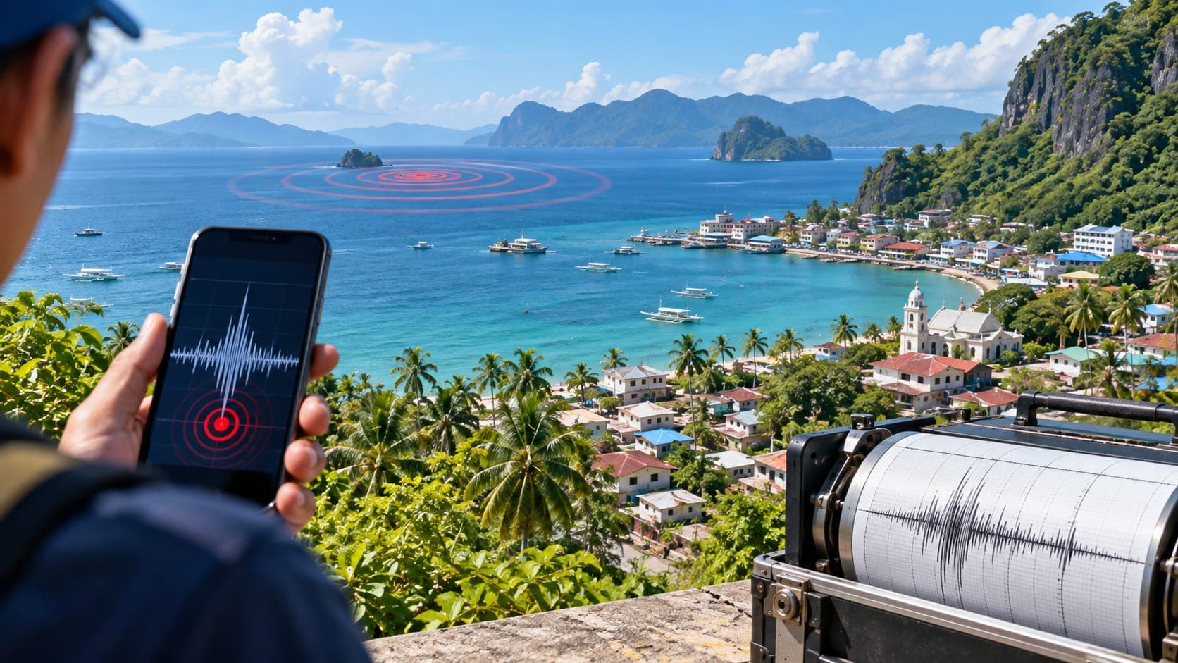
The Philippines is squeezed between two systems of ocean trenches, with a major fault running through the middle of the islands. Earthquakes are recorded across the country every day, most too small to feel, and damaging ones strike every few years.
This is a reference page, not a live feed, so it cannot tell you what happened today. It shows where to find official information, how to read the Philippine intensity scale alongside magnitude, and which faults and hazards matter most.
Quick answer
To check for a Philippines earthquake today, go first to PHIVOLCS, the Philippine Institute of Volcanology and Seismology, which is the official source for earthquake bulletins, intensity reports and local tsunami warnings. For international context, use the USGS, EMSC or the EQRadar live map of USGS data. PHIVOLCS reports both magnitude and intensity on its own scale from I to X.
Open the live map of the PhilippinesWhere to check earthquakes in the Philippines
PHIVOLCS, an agency of the Department of Science and Technology (DOST), monitors earthquakes, volcanoes and tsunamis. Its earthquake bulletins give the location relative to the nearest town, the depth, the magnitude, reported intensities, and whether damage and aftershocks are expected. PHIVOLCS also issues tsunami information for Philippine coasts. Local government units and disaster risk reduction offices handle evacuation, so follow their instructions.
For an international view, the U.S. Geological Survey (USGS) and the European-Mediterranean Seismological Centre (EMSC) report moderate and larger earthquakes in the Philippines. You can see USGS-reported events on the EQRadar live map of the Philippines, check volcano information on the volcanoes page, and look up past earthquakes in the history view.
Magnitude and the PHIVOLCS Earthquake Intensity Scale
Magnitude describes the size of an earthquake at its source. The PHIVOLCS Earthquake Intensity Scale (PEIS) describes the effects at a particular place, from Intensity I (scarcely perceptible) to Intensity X (completely devastating). An earthquake has one magnitude, but bulletins may list several intensities for different towns. Read more in our lesson on magnitude vs intensity.
PHIVOLCS's first bulletin is often based on automatic processing and may be updated with a revised magnitude or location. USGS may report a slightly different magnitude because it uses different data and methods. Philippine Standard Time is UTC+8, so an earthquake at 01:00 UTC happened at 09:00 in Manila. Also check the Depth: deep earthquakes in the sinking plates are often widely felt but less damaging than shallow ones.
Why the Philippines has so many earthquakes
The islands lie between the Philippine Sea plate to the east and the Eurasian plate (with the Sunda block) to the west. The plates converge along trenches on both sides. To the east, the Philippine Sea plate sinks along the Philippine Trench and the East Luzon Trough. To the west, plates sink along the Manila Trench and, farther south, the Negros, Sulu and Cotabato trenches. This Subduction produces offshore earthquakes and feeds the country's volcanoes.
Part of the plate motion is taken up by the Philippine Fault Zone, a strike-slip Fault system roughly 1,200 kilometers long that runs from northern Luzon through the central islands to Mindanao. Many other active faults cross the country. One of the most closely watched is the Valley Fault System, including the West Valley Fault, which runs through Metro Manila. PHIVOLCS provides tools such as FaultFinder so people can check how close a location is to a mapped active fault.
Notable earthquakes in the Philippines
The July 16, 1990 Luzon earthquake, about magnitude 7.7, ruptured a long stretch of the Philippine Fault Zone and its branches. It caused severe damage in Baguio, Dagupan and Cabanatuan, with more than 1,600 deaths, and triggered many landslides in the mountains.
| Year | Earthquake | Magnitude | Notes |
|---|---|---|---|
| 1976 | Moro Gulf (Mindanao) | about 8.0 | Destructive tsunami along the Moro Gulf coast |
| 1990 | Luzon | about 7.7 | Philippine Fault Zone; Baguio and central Luzon |
| 2013 | Bohol | about 7.2 | Damaged historic churches and created a surface rupture |
| 2019 | Cotabato sequence | about 6.3–6.6 | Several damaging earthquakes in a few weeks |
| 2022 | Abra | about 7.0 | Damage and landslides in northern Luzon |
Hazards beyond the shaking
Because most Filipinos live near the coast, tsunamis are a serious concern. Local tsunamis from nearby trenches can arrive within minutes, as in the 1976 Moro Gulf disaster, leaving no time for an official warning. If you feel strong shaking that makes it hard to stand, or shaking that lasts a long time, move to high ground right away.
Steep, rain-soaked slopes make landslides common after strong earthquakes, especially in the Cordillera and on islands such as Mindanao. Loose sediments in river deltas, reclaimed land and coastal lowlands, including parts of Metro Manila, are vulnerable to Liquefaction. The country also has many active volcanoes, including Mayon, Taal and Pinatubo, which PHIVOLCS monitors separately with its own alert levels.
If you felt an earthquake in the Philippines
Drop, Cover and Hold On during the shaking; this is the same action practiced in the country's regular Nationwide Simultaneous Earthquake Drills. Once the shaking stops, check for injuries, fires and gas leaks, and leave the building calmly if it is damaged. Near the coast, move to high ground after strong or long shaking. Then check the PHIVOLCS bulletin and follow your barangay and local government for instructions. Expect aftershocks, and see our earthquake safety tips for more detail.
Frequently asked questions
What is the difference between PHIVOLCS intensity and magnitude?
Magnitude is a single number for the size of the earthquake. Intensity, on the PHIVOLCS Earthquake Intensity Scale from I to X, describes how strongly shaking was felt and what damage it caused at a specific place, so it varies from town to town.
What is the West Valley Fault and why does it matter for Metro Manila?
The West Valley Fault is an active fault in the Valley Fault System that runs through parts of Metro Manila and nearby provinces. Planning studies have considered a scenario earthquake of about magnitude 7 on it, often called The Big One, to prepare the capital. Nobody can predict when it will move.
How can I check whether my home is near an active fault in the Philippines?
PHIVOLCS provides online tools, including FaultFinder and the HazardHunterPH platform, that show mapped active faults and other hazards for a location. For decisions about a specific building, consult a qualified engineer.
Will PHIVOLCS warn me before a tsunami reaches the coast?
PHIVOLCS issues tsunami information after significant earthquakes, but for local tsunamis the waves can arrive before any warning. Strong or long shaking near the coast is itself the signal to move to high ground.
Key takeaway
For a Philippines earthquake today, check PHIVOLCS first for the official bulletin, intensity and any tsunami information, then use USGS, EMSC or the EQRadar live map for context. Remember that intensity varies by place, and that near the coast, strong shaking means move to high ground without waiting.
Sources
- Philippine Institute of Volcanology and Seismology (PHIVOLCS) — Department of Science and Technology, Philippines
- Latest Earthquakes Map — U.S. Geological Survey
- European-Mediterranean Seismological Centre — EMSC
- Tsunami.gov — NOAA / U.S. National Weather Service