Indonesia Earthquake Today
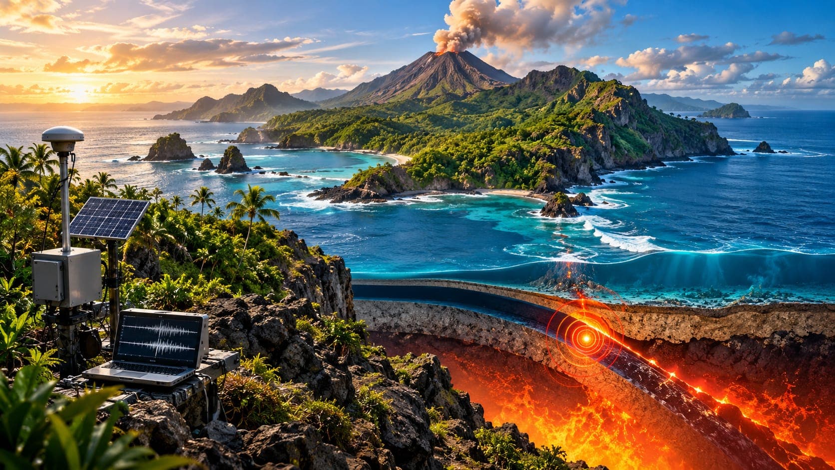
Indonesia stretches across more than 5,000 kilometers of islands, nearly all of them shaped by colliding tectonic plates. Earthquakes happen somewhere in the country almost every day, and the region has produced some of the largest earthquakes and tsunamis ever recorded.
This reference page does not report today's events. It explains how to find verified earthquake and tsunami information for Indonesia, how to make sense of the reports, and why different parts of the archipelago face different hazards.
Quick answer
To check for an Indonesia earthquake today, go first to BMKG (Badan Meteorologi, Klimatologi, dan Geofisika), Indonesia's official agency for earthquake reports and tsunami warnings. Then use the USGS, EMSC or the EQRadar live map of USGS data for an international view. BMKG lists times in Indonesian local time, while international sites use UTC. If you are on the coast and feel strong or long shaking, move to high ground immediately.
Open the live map of IndonesiaWhere to check earthquakes in Indonesia
BMKG runs Indonesia's national seismic network and the Indonesia Tsunami Early Warning System (InaTEWS). It publishes recent earthquakes, felt reports and tsunami warnings on its website, through its official app and social media, and through broadcasters. Its messages state whether an earthquake has tsunami potential. When BMKG or local disaster agencies issue a warning or evacuation instruction, follow it; official instructions come before any website.
The U.S. Geological Survey (USGS) and the European-Mediterranean Seismological Centre (EMSC) also report moderate and large earthquakes in Indonesia. On EQRadar you can open the live map of Indonesia to see USGS-reported events, check volcano information on the volcanoes page, and view official NOAA tsunami messages on the tsunami page. NOAA's messages are for international awareness; BMKG issues the warnings for Indonesian coasts.
Reading an Indonesian earthquake report
Indonesia spans three time zones: Western Indonesia Time (WIB, UTC+7), Central Indonesia Time (WITA, UTC+8) and Eastern Indonesia Time (WIT, UTC+9). BMKG usually gives the time in WIB, so an earthquake near Papua may be listed in a different zone from the one people there use. USGS and EMSC use UTC.
BMKG's first Magnitude is calculated automatically within minutes so that warnings can go out fast, and it is often updated afterward. USGS may publish a slightly different value. Depth is especially important in Indonesia. Many earthquakes occur deep inside sinking plates, sometimes hundreds of kilometers down beneath the Banda Sea or Java Sea. These deep events can be widely felt but rarely cause serious damage, and they do not generate tsunamis. Shallow offshore earthquakes are the ones most likely to cause tsunamis.
Why Indonesia has so many earthquakes
Along the western side of the country, the Indo-Australian plate sinks beneath the islands along the Sunda Trench, which runs south of Sumatra, Java, Bali and Nusa Tenggara. This Subduction zone, often called the Sunda megathrust, can produce very large earthquakes and tsunamis. Eastern Indonesia is even more complex, with the Pacific, Philippine Sea and Australian plates converging around Sulawesi, the Moluccas, the Banda Sea and Papua.
Crustal faults on land add to the hazard. They include the long Sumatran Fault, which runs along the length of Sumatra, and the Palu-Koro Fault in Sulawesi. The same subduction that causes earthquakes also feeds Indonesia's many active volcanoes. The 3D depth explorer shows clearly how earthquakes get deeper as the plates descend beneath the islands.
Notable earthquakes and tsunamis
The December 26, 2004 Sumatra–Andaman earthquake, of about magnitude 9.1, generated a tsunami that crossed the Indian Ocean and killed more than 200,000 people in many countries, with Aceh province in Indonesia hit hardest. It led to the creation of Indonesia's tsunami warning system and a regional warning network for the Indian Ocean.
| Year | Earthquake | Magnitude | Notes |
|---|---|---|---|
| 2004 | Sumatra–Andaman (Aceh) | about 9.1 | Indian Ocean tsunami |
| 2005 | Nias–Simeulue | about 8.6 | Struck just south of the 2004 rupture |
| 2006 | Yogyakarta | about 6.3 | Shallow earthquake with heavy damage to homes |
| 2009 | Padang (West Sumatra) | about 7.6 | Widespread building damage |
| 2018 | Palu (Central Sulawesi) | about 7.5 | Tsunami in Palu Bay and severe liquefaction |
Tsunamis, liquefaction and volcanoes
The 2018 Palu earthquake showed that Indonesia's hazards go beyond shaking. The earthquake was on a strike-slip fault, a type not usually expected to produce large tsunamis, yet waves struck Palu Bay within minutes, possibly helped by underwater landslides. Inland, Liquefaction turned saturated ground into flowing mud that carried away entire neighborhoods.
Not every tsunami starts with an earthquake. In December 2018, part of the Anak Krakatau volcano collapsed into the Sunda Strait and caused a tsunami without any strong shaking to warn people. That is why coastal residents near volcanoes should know local warning signs and follow BMKG and local authorities. For any coast, the rule is the same: if shaking is strong or long, or the sea suddenly withdraws, move to high ground at once. See can an earthquake cause a tsunami.
If you felt an earthquake in Indonesia
Local disaster management agencies (BPBD) coordinate evacuation and shelters, so follow their instructions in your area.
- Drop, Cover and Hold On until the shaking stops.
- On the coast, after strong or long shaking, walk quickly to high ground or a tall, sturdy evacuation building. Do not wait for a siren.
- Check BMKG for the earthquake details and whether there is tsunami potential.
- Stay away from the shore until authorities say it is safe; tsunamis can include several waves over hours.
- Inland, watch for landslides on steep slopes and for aftershocks.
Frequently asked questions
Does BMKG issue tsunami warnings for every big earthquake?
BMKG evaluates every significant earthquake and states whether it has tsunami potential. Deep earthquakes and those on land usually do not. But a warning can come too late for coasts very close to the source, so strong shaking itself is your signal to move to high ground.
Why does BMKG's magnitude differ from the USGS magnitude?
BMKG calculates a fast automatic magnitude for warning purposes and updates it later, while USGS uses its own data and methods. Differences of a few tenths are normal and do not mean one source is wrong.
Why are some Indonesian earthquakes felt over a huge area but cause little damage?
Many Indonesian earthquakes are hundreds of kilometers deep within sinking plates. Their energy spreads over a wide area before reaching the surface, so shaking is milder but felt more widely.
Can a volcano cause a tsunami in Indonesia?
Yes. In 2018 a collapse of Anak Krakatau caused a tsunami in the Sunda Strait with no strong earthquake beforehand. Volcano activity is monitored by Indonesia's volcanology agency, and residents should follow its alerts and local authorities.
Key takeaway
For an Indonesia earthquake today, start with BMKG for official earthquake and tsunami information, then use USGS, EMSC and the EQRadar live map for context. Check the depth and time zone, and remember that on the coast, strong or long shaking means move to high ground right away.
Sources
- BMKG (Meteorology, Climatology and Geophysics Agency) — Republic of Indonesia
- Latest Earthquakes Map — U.S. Geological Survey
- European-Mediterranean Seismological Centre — EMSC
- Tsunami.gov — NOAA / U.S. National Weather Service