Mexico Earthquake Today
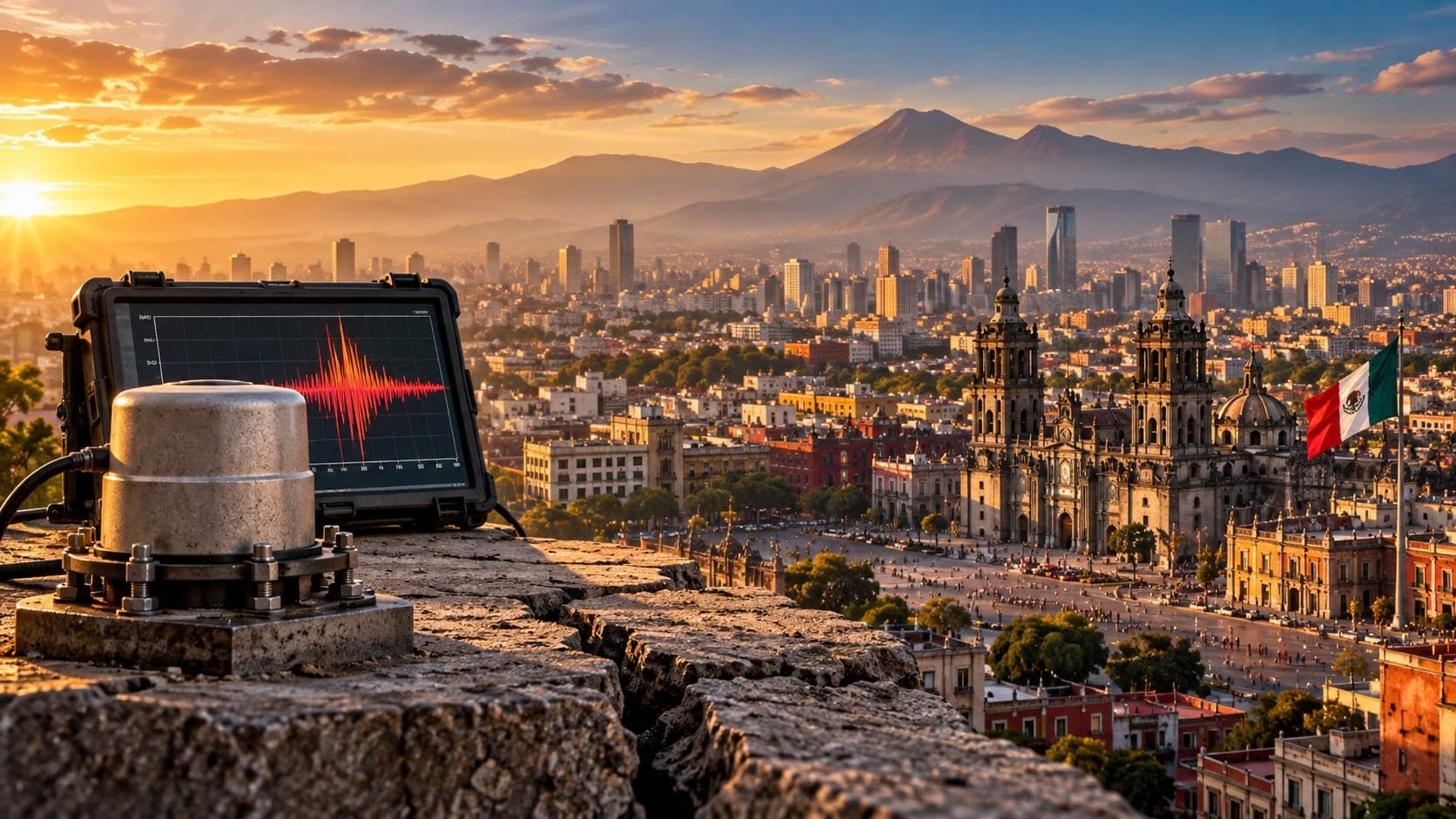
Mexico's Pacific coast lies along one of the world's most active subduction zones, and earthquakes are recorded there every day. Many people in Mexico City also know the sound of the seismic alert sirens, which can sound before shaking from a distant coastal earthquake arrives.
This reference page cannot tell you what happened today. Instead, it explains where to check verified earthquake information for Mexico, how to read the reports, how the early warning system works, and why some cities feel earthquakes far more strongly than others.
Quick answer
To check for a Mexico earthquake today, start with the Servicio Sismológico Nacional (SSN) at UNAM, Mexico's national seismological service, which publishes official earthquake reports. For international context, use the USGS, EMSC or the EQRadar live map of USGS data. The SASMEX seismic alert system can warn some cities seconds before shaking. Follow civil protection authorities (Protección Civil) for instructions.
Open the live map of MexicoWhere to check earthquakes in Mexico
The Servicio Sismológico Nacional, operated by the National Autonomous University of Mexico (UNAM), runs the national seismic network and posts a list of recent earthquakes with their location, depth, magnitude and local time. Its first report for a felt earthquake is often preliminary and may be updated. For evacuation, building safety and shelters, follow the national and state civil protection agencies.
Internationally, the U.S. Geological Survey (USGS) and the European-Mediterranean Seismological Centre (EMSC) also report significant earthquakes in Mexico. You can view USGS-reported events on the EQRadar live map of Mexico, browse past events in the history view, and for larger earthquakes see the estimated shaking in the ShakeMap viewer.
How to read a Mexico earthquake report
Central Mexico, including Mexico City, uses UTC−6 all year, so an earthquake at 18:00 UTC happened at 12:00 noon in the capital. Some states use other time zones, and USGS and EMSC list UTC times. The SSN usually names the nearest town, such as a distance from Pinotepa Nacional or Acapulco, which helps you see whether the source was on the coast or inland.
The SSN and USGS may report slightly different magnitudes, especially in the first hour, because of different stations and methods. Pay attention to Depth as well. Mexico has two common types of damaging earthquakes: shallow ones on the plate boundary near the coast, and deeper ones inside the sinking plate beneath central Mexico. The second type can strike surprisingly close to large inland cities.
Why Mexico has so many earthquakes
Along the Pacific coast from Jalisco to Chiapas, the Cocos and Rivera plates sink beneath the North American plate along the Middle America Trench. This Subduction produces large earthquakes offshore and along the coast of states such as Michoacán, Guerrero and Oaxaca. Scientists have long studied the Guerrero region because parts of it have not had a large earthquake in a long time.
The sinking Cocos plate bends and descends under central Mexico, where it can break internally and cause deeper intraslab earthquakes. In the northwest, the boundary changes character: the Gulf of California is opening as the Pacific plate slides past North America. The 3D depth explorer shows how earthquakes deepen beneath the country away from the trench. See also our lesson on why depth matters.
Notable earthquakes in Mexico
September 19 has a painful place in Mexico's history. On that date in 1985, a magnitude 8.0 earthquake off the Michoacán coast killed thousands of people, mostly in Mexico City, about 350 kilometers away. On the same date in 2017, a magnitude 7.1 intraslab earthquake near the Puebla–Morelos border caused building collapses in Mexico City and surrounding states. A magnitude 7.6 earthquake also struck Michoacán on September 19, 2022. The dates are a coincidence; earthquakes do not follow the calendar.
| Year | Earthquake | Magnitude | Notes |
|---|---|---|---|
| 1985 | Michoacán | about 8.0 | Severe damage in distant Mexico City |
| 2017 | Chiapas (Tehuantepec) | about 8.2 | Break within the sinking plate offshore; damage in Oaxaca and Chiapas |
| 2017 | Puebla–Morelos | about 7.1 | Intraslab earthquake close to Mexico City |
| 2020 | Oaxaca | about 7.4 | Coastal earthquake felt widely in central Mexico |
| 2022 | Michoacán | about 7.6 | Struck on the anniversary of 1985 and 2017 |
Why Mexico City shakes so strongly
Much of Mexico City is built on the soft clay of former lakes. These sediments amplify seismic waves and make the ground sway for a long time, especially at the slow rhythms that affect mid-rise buildings. That is why a coastal earthquake hundreds of kilometers away can be gentle on rock but damaging on the old lakebed. The city's building codes were strengthened after 1985, and again after 2017.
Mexico City also has the Sistema de Alerta Sísmica Mexicano (SASMEX), an earthquake early warning system run by the Centro de Instrumentación y Registro Sísmico (CIRES). Sensors near the coast detect an earthquake and send an alert that is broadcast through public loudspeakers, radio and TV. For coastal earthquakes, the alert can arrive tens of seconds before shaking reaches the capital. For nearby events, like the 2017 Puebla earthquake, warning time can be very short or nonexistent.
If you hear the alert or feel shaking
When the alert sounds or shaking starts, act right away. Follow the plan you have practiced in drills for your home, school or workplace. If you cannot quickly and safely reach an open area along a practiced route, Drop, Cover and Hold On away from windows. Never use elevators or stairs during shaking. On the Pacific coast, strong or long shaking means move to high ground at once, because a local Tsunami can arrive quickly; the Mexican Navy runs the national tsunami warning center. Afterward, check the SSN, expect aftershocks and follow Protección Civil.
Frequently asked questions
How much warning does the SASMEX alert give in Mexico City?
It depends on where the earthquake starts. For earthquakes on the Pacific coast, the alert can give tens of seconds of warning. For earthquakes closer to the city, there may be only a few seconds or none at all.
Why are so many big Mexican earthquakes on September 19?
It is a coincidence. Large earthquakes struck on September 19 in 1985, 2017 and 2022, but earthquakes cannot be predicted by date. Mexico holds national drills around this date to remember past disasters and practice.
Why does the SSN magnitude sometimes differ from the USGS magnitude?
The SSN and USGS use different station networks and calculation methods, and early values are often revised. Differences of a few tenths are normal. The SSN is the official national source.
Can an earthquake far away on the coast damage Mexico City?
Yes. The soft lakebed soils beneath much of the city amplify and prolong shaking, which is why the 1985 Michoacán earthquake, centered about 350 kilometers away, caused such heavy damage there.
Key takeaway
For a Mexico earthquake today, check the SSN first, then USGS, EMSC or the EQRadar live map for context, and follow Protección Civil for instructions. SASMEX can give valuable seconds of warning for coastal earthquakes, but not always, so practice protecting yourself quickly.
Sources
- Servicio Sismológico Nacional — Universidad Nacional Autónoma de México (UNAM)
- Latest Earthquakes Map — U.S. Geological Survey
- European-Mediterranean Seismological Centre — EMSC
- Earthquake Hazards Program — U.S. Geological Survey