Biggest Earthquake Ever Recorded
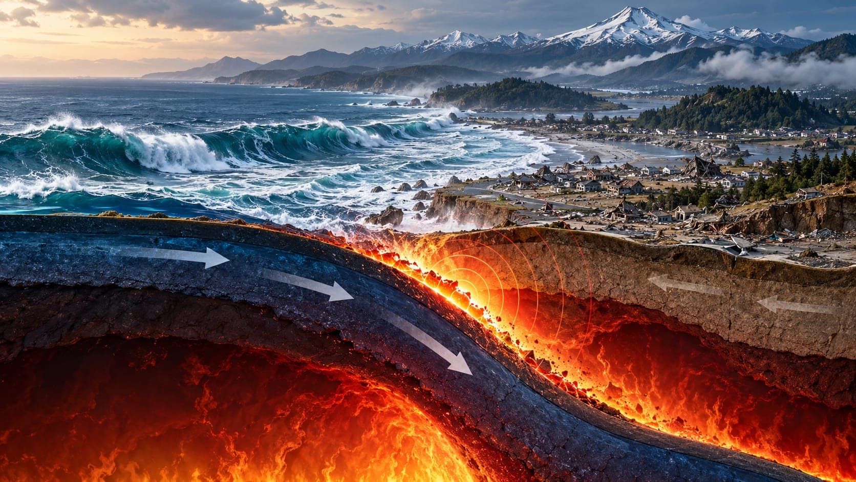
On May 22, 1960, the largest earthquake ever measured by instruments struck southern Chile. Often called the Great Chilean earthquake or the Valdivia earthquake, after the city most affected, it had a magnitude of 9.5. More than six decades later, no recorded earthquake has matched it.
This article explains what happened in 1960, how its size compares with other giant earthquakes, and why the biggest earthquakes almost always happen on subduction zones.
Quick answer
The biggest earthquake ever recorded is the magnitude 9.5 Great Chilean (Valdivia) earthquake of May 22, 1960. A section of the boundary between the Nazca and South American plates, roughly 1,000 km long, ruptured off southern Chile. It caused widespread destruction in Chile and a tsunami that crossed the Pacific, causing damage and deaths as far away as Hawaii and Japan.
Southern ChileWhat happened on May 22, 1960
The earthquake struck in the afternoon local time, along the Subduction zone where the Nazca Plate dives beneath the South American Plate. It was preceded by a series of strong foreshocks, including a large one the day before near the city of Concepción, so some people were already outdoors or alert when the main shock hit.
The rupture spread along the plate boundary for roughly 1,000 km, from near the Arauco Peninsula south toward Chiloé Island. The ground shook for several minutes. Parts of the coast sank by a meter or more, permanently flooding some low-lying land, while other areas were lifted. Cities and towns across southern Chile, including Valdivia and Puerto Montt, were heavily damaged.
A tsunami across the Pacific
The sudden uplift of the sea floor generated a Tsunami that struck the Chilean coast within minutes, adding to the destruction from the shaking. The waves then crossed the entire Pacific Ocean.
About 15 hours after the earthquake, the tsunami reached Hawaii, where it caused heavy damage and deaths in the city of Hilo. Roughly a day after the earthquake, it reached Japan, more than 17,000 km from Chile, where it also caused deaths and damage. The disaster showed how a distant earthquake can threaten coasts on the other side of an ocean and helped push the development of the Pacific tsunami warning system.
Estimates of the total number of deaths vary between sources, and the exact toll remains uncertain. Many people on the Chilean coast survived because they moved to higher ground after the shaking.
The largest earthquakes since 1900
The U.S. Geological Survey keeps a list of the largest earthquakes in the world since 1900, when instrumental records became more reliable. The giants at the top of the list have something in common: all occurred on subduction zones around the Pacific and Indian Oceans.
| Date | Location | Magnitude |
|---|---|---|
| May 22, 1960 | Southern Chile (Valdivia) | 9.5 |
| March 27, 1964 | Prince William Sound, Alaska | 9.2 |
| December 26, 2004 | Off Sumatra, Indonesia (Sumatra–Andaman) | 9.1 |
| March 11, 2011 | Off the Pacific coast of Tōhoku, Japan | 9.1 |
| November 4, 1952 | Kamchatka, Russia | 9.0 |
| February 27, 2010 | Offshore Maule, Chile | 8.8 |
Just how big is a 9.5?
Because the Magnitude scale is logarithmic, small differences at the top of the scale are huge. Each whole step means about 32 times more energy. The 1960 earthquake released roughly 32 times more energy than an 8.5 and about 1,000 times more than a 7.5. Even compared with the magnitude 9.1 to 9.2 earthquakes on the list, it released roughly three to four times more energy.
The energy comes from the enormous size of the rupture. Magnitude depends on the area of Fault that slipped and how far it moved. In 1960, a section of plate boundary roughly 1,000 km long and well over 100 km wide slipped by many meters at once. Our article on how powerful a 7.0 earthquake is explains the scale in more detail.
Why the biggest earthquakes happen on subduction zones
At subduction zones, one tectonic plate slides beneath another along a gently sloping boundary called a megathrust. These boundaries can stay locked for centuries while strain builds up, then slip over very large areas in a single event. No other kind of fault offers such a large surface to rupture at once.
The same type of boundary exists off the U.S. Pacific Northwest, where the Cascadia subduction zone is capable of earthquakes around magnitude 9. You can explore the plate boundaries around the Pacific in our article on the Ring of Fire.
Could a bigger earthquake happen?
Scientists consider an earthquake much larger than 9.5 to be very unlikely, because it would need a fault rupture far longer and wider than any known. The more practical concern is that earthquakes in the magnitude 8 and 9 range will continue to happen, about once a year somewhere in the world for magnitude 8 and larger, according to USGS estimates.
You can look up historic events, including the 1960 earthquake, on the EQRadar history page.
Frequently asked questions
What was the biggest earthquake in the United States?
The magnitude 9.2 Great Alaska earthquake of March 27, 1964, centered in the Prince William Sound region, is the largest recorded in the United States and the second largest recorded worldwide.
Is the biggest earthquake also the deadliest?
No. The death toll depends on where an earthquake strikes, how buildings are constructed and secondary hazards such as tsunamis. Some of the deadliest earthquakes in history were much smaller than 9.5. See our article on the deadliest earthquakes in history.
How was the 1960 earthquake measured if it was so long ago?
Seismographs were already operating worldwide in 1960. Later analysis of those records, along with measurements of land uplift and subsidence, allowed scientists to calculate its moment magnitude of about 9.5.
How long did the shaking last in 1960?
Shaking in southern Chile lasted several minutes, which is typical for the very largest earthquakes because the rupture takes a long time to spread along hundreds of kilometers of fault.
Key takeaway
The 1960 Great Chilean earthquake, magnitude 9.5, is the largest ever recorded. It ruptured roughly 1,000 km of a subduction zone and sent a tsunami across the Pacific, a reminder that the biggest earthquakes can affect coasts thousands of kilometers away.
Sources
- 20 Largest Earthquakes in the World — U.S. Geological Survey
- Lists, Maps, and Statistics — U.S. Geological Survey
- Tsunami Safety — National Weather Service (NOAA)