Hawaii Earthquakes Today
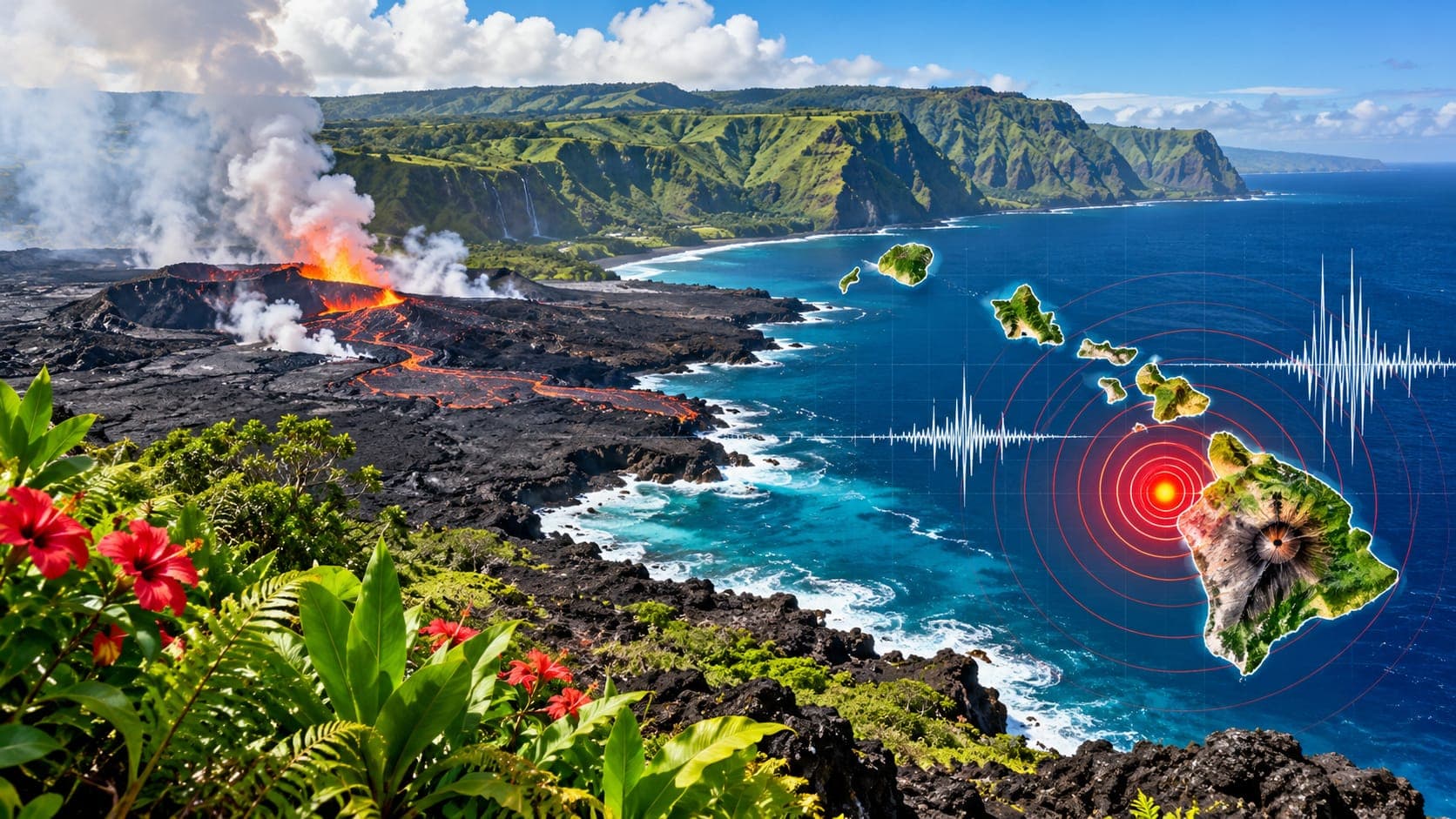
Hawaii's earthquakes are different from those in California or Alaska. The islands sit in the middle of the Pacific plate, far from any plate boundary, and most of their earthquakes are linked to volcanoes: magma moving underground, the enormous weight of the islands, and the slow seaward slide of volcano flanks. Hawaiʻi Island, the Big Island, has by far the most activity.
As a static reference page, this article does not report today's earthquakes. It explains where to find verified information, how to read it, and what the different kinds of Hawaiian earthquakes mean.
Quick answer
To check Hawaii earthquakes today, open the EQRadar live map of USGS-reported earthquakes, the USGS Latest Earthquakes map, or the USGS Hawaiian Volcano Observatory (HVO), which monitors the islands. Most events are small and under Kīlauea or Mauna Loa. For tsunami threats, follow official alerts. If you felt shaking, report it to USGS Did You Feel It?
Open the live map of HawaiiFinding today's Hawaii earthquakes
The USGS Hawaiian Volcano Observatory runs the seismic network that covers the islands, with especially dense coverage around Kīlauea and Mauna Loa. Its earthquake locations go into the USGS catalog, which appears on the EQRadar live map and the USGS Latest Earthquakes map. HVO's own website also posts volcano updates that put the earthquakes in context.
On a typical day you will see clusters of small earthquakes beneath the summit and rift zones of Kīlauea, around Mauna Loa, and along Kīlauea's south flank. Zoom out to see occasional events near Maui, Oʻahu and Kauaʻi; these islands are much quieter because their volcanoes are no longer fed by the hotspot.
Reading Hawaii earthquake data
Hawaii Standard Time is 10 hours behind UTC all year, since the state does not use daylight saving time. For each event, note the Magnitude, the location relative to a volcano or town such as Pāhala, Volcano or Kailua-Kona, and the Depth.
Depth helps tell different kinds of earthquakes apart. Earthquakes a few kilometers deep under Kīlauea's summit or rift zones are usually tied to magma moving. Earthquakes around 30 kilometers deep beneath Pāhala, in the Kaʻū district, have been common for decades and are thought to be related to the deep magma supply. As always, first results are automatic and are refined after review; a magnitude may change by a few tenths.
Three kinds of Hawaiian earthquakes
Scientists group Hawaii's earthquakes into a few broad types. Knowing which type you are looking at helps you judge what it might mean.
- Volcanic earthquakes: small, often in swarms, caused by magma pushing through rock beneath summits and rift zones. Changes in these swarms are one of the signals HVO watches for signs of possible eruptions.
- Flank earthquakes: the south flanks of Kīlauea and Mauna Loa are slowly sliding toward the sea on a nearly flat fault several kilometers down. Sudden slips on this surface cause the largest Hawaiian earthquakes, such as the 1975 Kalapana and 2018 Kīlauea events.
- Deep earthquakes: the immense weight of the islands bends the Pacific plate beneath them, producing earthquakes deep in the plate. The 2006 Kīholo Bay earthquake off the Kona coast, about magnitude 6.7, was one of these.
Notable Hawaii earthquakes
The largest known Hawaiian earthquake struck the Kaʻū district in 1868 and is estimated at about magnitude 7.9; it caused a local tsunami and a deadly mudflow. In 1975 a flank earthquake of about magnitude 7.7 near Kalapana dropped part of the coastline and generated a local tsunami that killed two people camping at Halapē. In May 2018, during Kīlauea's lower East Rift Zone eruption, a magnitude 6.9 flank earthquake shook the island.
| Year | Location or name | Approx. magnitude |
|---|---|---|
| 1868 | Kaʻū district | about 7.9 |
| 1975 | Kalapana (Kīlauea south flank) | about 7.7 |
| 2006 | Kīholo Bay, off the Kona coast | about 6.7 |
| 2018 | Kīlauea south flank | 6.9 |
Tsunami, volcanoes and other hazards
Hawaii faces two kinds of Tsunami. Distant tsunamis from large earthquakes around the Pacific have struck the islands repeatedly; those of 1946 from the Aleutian Islands and 1960 from Chile killed many people in Hilo. Local tsunamis from large flank earthquakes can arrive within minutes, too fast for an official warning to reach everyone. If you are near the coast and feel strong or long shaking, move to high ground or inland immediately. The Pacific Tsunami Warning Center on Oʻahu issues official alerts, and our tsunami page shows NOAA alerts.
Strong shaking can also trigger rockfalls and landslides on steep sea cliffs and in valleys. Our volcanoes page and the lesson on volcanoes and earthquakes explain how earthquake activity relates to eruptions.
What to do if you felt shaking
During shaking, Drop, Cover and Hold On. Afterward, check for injuries and damage, stay away from damaged sea walls and cliffs, and expect aftershocks. Report what you felt to USGS Did You Feel It? Hawaii is not covered by the ShakeAlert early warning system, so your own quick reaction is the most important protection.
If your area is affected by volcanic activity, follow county civil defense instructions as well as HVO updates. EQRadar's in-app alerts can watch a saved place while the page is open, but they are not a substitute for official civil defense and tsunami warnings.
Frequently asked questions
Why does the Big Island have so many earthquakes?
Hawaiʻi Island sits over the Hawaiian hotspot and has active volcanoes. Magma movement, the sliding of volcano flanks and the weight of the island all create earthquakes, mostly small ones.
Do earthquakes mean Kīlauea or Mauna Loa is about to erupt?
Not necessarily. Small earthquakes happen beneath both volcanoes all the time. HVO looks at changes in earthquake rates and locations together with ground deformation and gas data before saying an eruption may be likely. Follow HVO's official updates.
Can a Hawaii earthquake cause a tsunami?
Yes. Large flank earthquakes, like those in 1868 and 1975, caused local tsunamis that arrived within minutes. Distant earthquakes around the Pacific can also send tsunamis to Hawaii, usually with several hours of warning.
Do Oʻahu and Maui get earthquakes?
Yes, but much less often than Hawaiʻi Island. Moderate earthquakes occasionally occur near Maui and in the channels between islands, and large Big Island earthquakes can be felt on other islands.
Key takeaway
Most Hawaii earthquakes are small and tied to volcanoes on Hawaiʻi Island, but large flank earthquakes and tsunamis have struck before. Check verified USGS and HVO data, read depth and location for clues, and treat strong coastal shaking as a signal to head for high ground.
Sources
- Hawaiian Volcano Observatory — U.S. Geological Survey
- Latest Earthquakes — U.S. Geological Survey
- Tsunami.gov — NOAA National Weather Service
- Did You Feel It? — U.S. Geological Survey