Seattle Earthquake Today
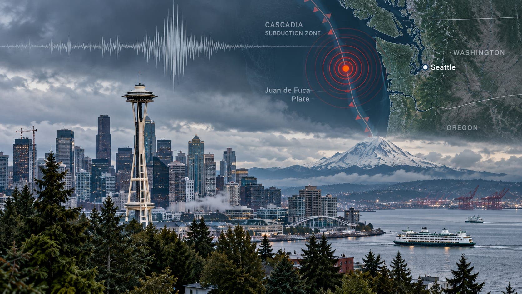
Seattle does not shake as often as Los Angeles or San Francisco, but its earthquake hazard is serious and unusually varied. The Puget Sound region faces earthquakes from three different sources: shallow faults right under the cities, deep earthquakes inside a sinking tectonic plate, and the offshore Cascadia subduction zone, which can produce some of the largest earthquakes on Earth.
This is a static reference page, so it does not report today's earthquakes. It explains how to find verified information quickly, how to read it, and how to tell which kind of earthquake you may be looking at.
Quick answer
To check for a Seattle earthquake today, open the EQRadar live map of USGS-reported earthquakes, the USGS Latest Earthquakes map, or the Pacific Northwest Seismic Network (PNSN). First magnitudes are automatic and may change. Depth is an important clue in this region. If you felt shaking, report it to USGS Did You Feel It?
Open the live map of SeattleChecking verified data
Earthquakes in Washington and Oregon are located by the Pacific Northwest Seismic Network, operated by the University of Washington and the University of Oregon with the USGS. PNSN results feed the USGS catalog, which appears on the EQRadar live map and the USGS Latest Earthquakes map. PNSN's own website also explains notable events and has a lot of local background.
Small earthquakes are recorded around Puget Sound most weeks, but only a few each year are widely felt in Seattle. If you think you felt one, wait a few minutes and refresh; very small events take a little longer to appear.
Reading the details
Seattle is on Pacific Time: 8 hours behind UTC in winter and 7 hours behind in summer. Check whether the listing uses UTC before matching it to what you felt.
In Puget Sound, Depth is the key to understanding an earthquake. An event less than about 30 kilometers deep is in the crust, possibly on a fault like the Seattle Fault. An event around 40 to 60 kilometers deep is probably inside the sinking Juan de Fuca plate. You can explore this in our 3D depth view. As elsewhere, the Magnitude and location first appear as automatic estimates, then are refined after a seismologist reviews them.
Three sources of Seattle earthquakes
Off the Washington coast, the Juan de Fuca plate is sliding beneath North America. That single process creates three different kinds of earthquakes:
- Shallow crustal earthquakes: faults in the upper crust, including the Seattle Fault, which runs east-west across Puget Sound, roughly beneath the Interstate 90 corridor. About 1,100 years ago it produced an earthquake of roughly magnitude 7 that lifted the shoreline by several meters and sent a tsunami through Puget Sound. Other shallow faults include the Tacoma and South Whidbey Island faults.
- Deep intraslab earthquakes: earthquakes inside the sinking plate, roughly 40 to 60 kilometers below the Puget Sound area. They are the most frequent source of damaging quakes in recent history, including the 1949 Olympia, 1965 Seattle-Tacoma and 2001 Nisqually earthquakes.
- Cascadia megathrust earthquakes: the plate boundary itself, offshore from northern California to Vancouver Island. Its last great earthquake, in January 1700, is estimated at about magnitude 9. A future one would produce several minutes of shaking and a large coastal Tsunami.
Earthquakes Seattle remembers
The deep earthquakes of 1949, 1965 and 2001 all caused damage in Seattle, Tacoma and Olympia. The 2001 Nisqually earthquake, magnitude 6.8, was centered about 50 kilometers deep near Olympia. Its depth spread the shaking out, which helped limit damage, but it still cracked buildings, damaged the Alaskan Way Viaduct and caused Liquefaction on filled land near the Duwamish River.
| Year | Earthquake and type | Approx. magnitude |
|---|---|---|
| about 900 AD | Seattle Fault (shallow crustal) | about 7 |
| 1700 | Cascadia megathrust | about 9 |
| 1949 | Olympia (deep intraslab) | high 6s |
| 1965 | Seattle-Tacoma (deep intraslab) | mid to high 6s |
| 2001 | Nisqually (deep intraslab) | 6.8 |
Soft ground, landslides and volcanoes
Seattle sits above a deep sedimentary basin that can amplify shaking. Areas built on fill or river sediments, such as SoDo, Harbor Island, the Duwamish industrial area and parts of the Kent and Puyallup valleys, are more prone to Liquefaction. Seattle's many steep bluffs and hillsides are prone to landslides, especially in wet months. Waterfront areas along Puget Sound also face tsunami hazard from a Seattle Fault earthquake.
The region's volcanoes add another layer. Mount Rainier is monitored by the USGS Cascades Volcano Observatory and PNSN, and small earthquakes beneath it are common. Follow the volcanoes page for official volcano information.
Early warning and staying safe
Washington is part of ShakeAlert, the USGS earthquake early warning system. Alerts can reach phones through Wireless Emergency Alerts and Android devices, potentially giving seconds of warning, especially for distant offshore earthquakes. For a Seattle Fault earthquake, warning time may be very short.
When you feel shaking or receive an alert, Drop, Cover and Hold On. If you are on the outer coast and feel strong or long shaking, move to high ground or inland immediately. After shaking stops, check for injuries, expect aftershocks and report what you felt to USGS Did You Feel It?
Frequently asked questions
Why did a deep earthquake feel so widespread?
Deep earthquakes start tens of kilometers below the surface, so the distance to every location is similar. That spreads moderate shaking over a large area instead of concentrating very strong shaking near the epicenter.
What is the Seattle Fault?
It is a zone of shallow faults running east-west across Puget Sound and through southern Seattle and Bellevue. It produced a large earthquake about 1,100 years ago and could produce strong shaking directly under the city in the future.
Is the Cascadia earthquake overdue?
Earthquakes do not run on schedules. Geologic evidence shows great Cascadia earthquakes have happened at irregular intervals, and the last was in 1700. Scientists estimate meaningful odds over the coming decades but cannot predict the date. See our Cascadia article.
Who monitors earthquakes in Seattle?
The Pacific Northwest Seismic Network, run by the University of Washington and the University of Oregon in partnership with the USGS. It also operates ShakeAlert stations in the region.
Key takeaway
Seattle faces shallow, deep and megathrust earthquakes, and each behaves differently. Check verified PNSN and USGS data, use depth to understand what you felt, know whether your home is on fill or a bluff, and keep Drop, Cover and Hold On ready.
Sources
- Pacific Northwest Seismic Network — University of Washington and University of Oregon
- Latest Earthquakes — U.S. Geological Survey
- ShakeAlert Earthquake Early Warning — ShakeAlert (USGS and partners)
- Did You Feel It? — U.S. Geological Survey