Greece Earthquake Today
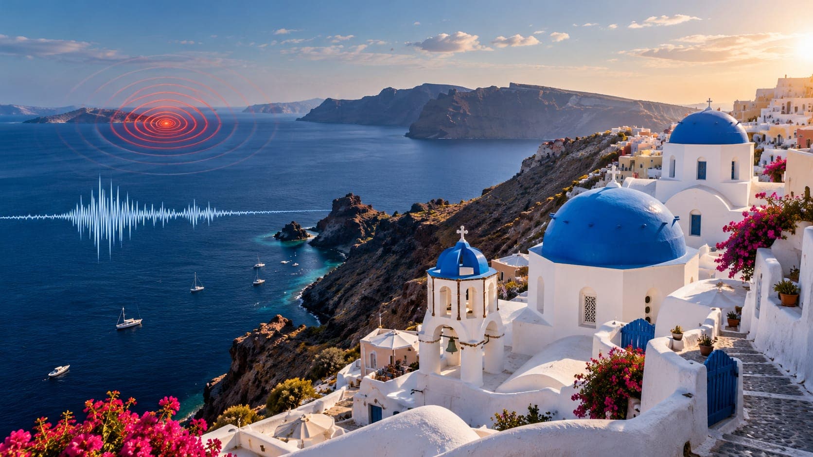
Greece has more earthquakes than any other country in Europe. Small ones are recorded across the mainland and the islands every day, and many are felt by residents and visitors. Most cause no harm, but the country's history includes destructive earthquakes and tsunamis.
This is a reference page, not a live report, so it does not say what happened today. It explains where to check verified information for Greece, how to read the reports, and the geology behind the shaking.
Quick answer
To check for a Greece earthquake today, start with the Institute of Geodynamics of the National Observatory of Athens (NOA), which publishes official earthquake reports for Greece. The European-Mediterranean Seismological Centre (EMSC) is also widely used in Europe and collects felt reports, and the USGS and the EQRadar live map of USGS data give an international view. Follow Greek Civil Protection and 112 alerts for instructions.
Open the live map of GreeceWhere to check earthquakes in Greece
The Institute of Geodynamics at the National Observatory of Athens operates a national seismic network together with partner institutions, including university networks, and posts recent earthquakes with location, depth, magnitude and time. Greek media usually quote its values. The General Secretariat for Civil Protection coordinates emergency response and can send warnings to mobile phones through the European emergency number 112 system. Their instructions take priority over any website.
The European-Mediterranean Seismological Centre, headquartered in France, gathers data from many European networks and is often among the first international sources to post a Greek earthquake. Its felt reports from the public show how widely shaking was noticed. The U.S. Geological Survey (USGS) reports moderate and larger events. On EQRadar you can open the live map of Greece to see USGS-reported earthquakes and use the timeline to see how activity unfolded over time.
How to read a Greek earthquake report
Greece uses Eastern European Time, UTC+2, and UTC+3 in summer. So an earthquake listed at 09:00 UTC happened at 12:00 noon in Athens in summer or 11:00 in winter. NOA usually reports a local Magnitude, while USGS often reports a different type, so values can differ by a few tenths. EMSC may show yet another value that combines several agencies. Early automatic numbers are often revised within the first hour.
Depth helps explain how an earthquake felt. Most Greek earthquakes are shallow, but beneath the southern Aegean, earthquakes in the sinking African plate can be over 100 kilometers deep. These intermediate-depth earthquakes can be felt across a huge area, from Crete to Athens and beyond, with little damage. Our lesson on why depth matters has more.
Why Greece has so many earthquakes
South of Crete, the African plate sinks beneath the Aegean region along the Hellenic arc, a Subduction zone that curves from the Ionian Sea past Crete to near Rhodes. At the same time, the Aegean crust is being stretched, pulled by the sinking slab and pushed by the westward motion of the Anatolian plate from Türkiye. This stretching creates many normal faults, basins and gulfs.
The Gulf of Corinth is one of the fastest-opening rifts in the world, and it has frequent moderate earthquakes. In the north Aegean, the North Anatolian Fault system continues west from Türkiye. Off the Ionian Islands, the Kefalonia Transform Fault is one of the most active faults in the region. The South Aegean volcanic arc, including Santorini, Milos and Nisyros, is also linked to subduction; see the volcanoes page.
Notable earthquakes in Greece
In August 1953, a series of earthquakes up to about magnitude 7.2 struck the Ionian Islands, destroying most buildings on Kefalonia and heavily damaging Zakynthos and Ithaca. The disaster reshaped the islands and their communities and helped push Greece toward modern seismic building codes.
| Year | Earthquake | Magnitude | Notes |
|---|---|---|---|
| 1953 | Ionian Islands (Kefalonia) | about 7.2 | Widespread destruction on Kefalonia and Zakynthos |
| 1978 | Thessaloniki | about 6.5 | Damage in Greece's second-largest city |
| 1981 | Gulf of Corinth (Alkyonides) | about 6.7 | Damage in Corinthia and felt strongly in Athens |
| 1999 | Athens (Parnitha) | about 6.0 | Building collapses in the northern suburbs |
| 2020 | Samos | about 7.0 | Tsunami on Samos and the nearby Turkish coast |
| 2021 | Crete (Arkalochori) | about 6.0 | Damage to villages in central Crete |
Tsunamis, swarms and other hazards
Greece's coasts can be hit by local tsunamis that arrive within minutes. The 2020 Samos earthquake flooded the harbor at Vathy on Samos and parts of the Turkish coast. Historical accounts describe a large tsunami in the eastern Mediterranean in the year 365, linked to a very large earthquake near western Crete. The Institute of Geodynamics also hosts Greece's national tsunami warning center. If you are near the sea and feel strong or long shaking, move inland or uphill immediately.
Greece also experiences earthquake swarms, many small to moderate earthquakes in one area over days or weeks without a single dominant event. In early 2025, an intense swarm between Santorini and Amorgos led authorities to take precautions on nearby islands. Swarms can be unsettling, but most end without a large earthquake; follow official advice rather than rumors. Steep coastal slopes and cliffs can also produce rockfalls and landslides during shaking.
If you felt an earthquake in Greece
Drop, Cover and Hold On until the shaking stops. Stay away from windows, balconies and heavy furniture, and do not use elevators. Afterward, check for damage and injuries, and leave if the building appears unsafe. Near the shore, move away from the sea after strong shaking. Check NOA or EMSC for the event details, follow 112 messages and Civil Protection, and expect aftershocks. If you are traveling, follow the advice of local authorities and your accommodation.
Frequently asked questions
Which agency is official for earthquakes in Greece?
The Institute of Geodynamics of the National Observatory of Athens publishes Greece's official earthquake reports. The General Secretariat for Civil Protection handles emergency instructions, including 112 alerts. EMSC and USGS are useful international sources.
Why was a Greek earthquake felt in Athens when it was far away near Crete?
Some earthquakes beneath the southern Aegean occur more than 100 kilometers deep inside the sinking African plate. Deep earthquakes spread shaking over large distances, so they can be felt hundreds of kilometers away with little or no damage.
Is it safe to travel to Greece because of earthquakes?
Earthquakes are a normal part of life in Greece, and most are small. Travelers should know the basics: Drop, Cover and Hold On during shaking, move away from the sea after strong shaking, and follow 112 alerts and local authorities. For official travel advice, check your own government.
Can Greek earthquakes cause tsunamis?
Yes. Most Greek tsunamis are local, as in the 2020 Samos earthquake, which caused flooding on Samos and the Turkish coast. Waves can arrive within minutes, so do not wait for a warning after strong shaking by the sea.
Key takeaway
For a Greece earthquake today, check the National Observatory of Athens for the official report, EMSC for fast regional data and felt reports, and USGS or the EQRadar live map for context. Greece's Hellenic arc and stretching Aegean crust make earthquakes frequent, so know what to do and follow 112 alerts.
Sources
- Institute of Geodynamics — National Observatory of Athens
- European-Mediterranean Seismological Centre — EMSC
- Latest Earthquakes Map — U.S. Geological Survey
- Earthquake Hazards Program — U.S. Geological Survey