Best Earthquake Monitoring Websites
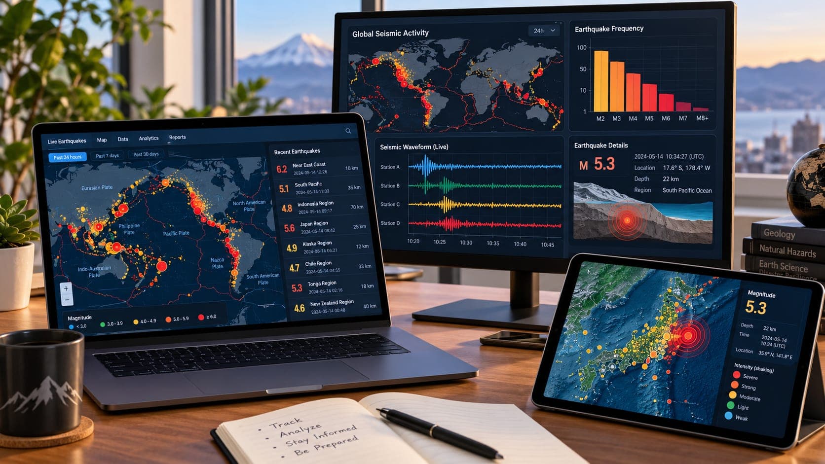
When the ground shakes, many people open a browser to find out what happened. The quality of what they find varies a lot. Official seismic agencies publish fast, carefully reviewed information for free, while some other sites repost data late, round off important details or add sensational headlines.
This guide covers the main official and scientific sources, what each does best and when you might use one over another. It does not rank commercial apps.
Quick answer
The most reliable earthquake monitoring websites are run by official and scientific organizations: the USGS Latest Earthquakes map for U.S. and global events, the European-Mediterranean Seismological Centre (EMSC) for rapid global and European reports, EarthScope (formerly IRIS) for education and seismic data, and national agencies such as Japan's JMA and New Zealand's GeoNet for their regions. For safety guidance, use Ready.gov or your local emergency agency.
What makes a monitoring website good
A good earthquake site gets its data directly from a seismic network or a trusted agency, shows when information was last updated, and marks whether each event is automatic or reviewed. It gives details such as Depth and the type of Magnitude, links to maps of shaking, and is clear about uncertainty.
No single site is best for everything. A national agency usually has the most detailed information for its own country, while global services are better for comparing activity worldwide.
USGS Latest Earthquakes
The U.S. Geological Survey's Latest Earthquakes map is the main source for earthquakes in the United States and a widely used source for significant earthquakes worldwide. Each event page includes location, depth, magnitude, review status and, for larger or felt events, a ShakeMap, Did You Feel It? reports and other products.
The USGS also publishes free real-time data feeds that many apps and websites, including EQRadar, use behind the scenes. If you want email notifications, the USGS Earthquake Notification Service sends them for regions and magnitudes you choose.
EMSC
The European-Mediterranean Seismological Centre collects data from many agencies and publishes rapid information on earthquakes worldwide, with particular strength in Europe and the Mediterranean region. It also gathers reports from people who felt shaking, through its website and app, which can show quickly where an earthquake was felt.
Because EMSC and the USGS use different data and methods, their magnitudes and locations for the same event can differ slightly, especially early on. That is normal.
EarthScope (formerly IRIS)
IRIS, now part of the EarthScope Consortium, supports seismic and geodetic research and runs data services used by scientists worldwide. For the public, it offers educational material, animations and tools that let you view recent seismograms. It is a good place to learn how earthquakes are recorded, rather than a first stop for fast news.
National agencies
If you live in or are following an earthquake in a particular country, its national agency is usually the most detailed and authoritative source, often in the local language as well as English.
- Japan: the Japan Meteorological Agency (JMA), which also issues tsunami warnings and the Japanese seismic intensity scale.
- New Zealand: GeoNet, the national geological hazard monitoring system, with detailed maps and felt reports.
- Mexico: the National Seismological Service (SSN) at UNAM.
- Canada: Earthquakes Canada, part of Natural Resources Canada.
- Many other countries have national geological surveys or seismological services that publish recent earthquakes.
Which site to use for what
The table summarizes where each source is strongest.
| Source | Best for | Coverage |
|---|---|---|
| USGS Latest Earthquakes | U.S. events, ShakeMaps, felt reports, data feeds | U.S. in detail; global significant events |
| EMSC | Rapid global reports, felt reports in Europe | Global; detailed in Europe and Mediterranean |
| EarthScope (IRIS) | Learning, seismograms, research data | Global |
| National agencies (JMA, GeoNet, etc.) | Local detail, local-language information, national warnings | Their own country |
| Ready.gov and local emergency agencies | What to do before, during and after | Safety guidance, not monitoring |
Safety and tsunami information
Monitoring sites tell you what happened. For what to do, turn to emergency management sources such as Ready.gov and your state or local agency. If you are near a coast, tsunami warnings come from official tsunami warning centers, not from earthquake maps. A large or nearby earthquake does not automatically mean a Tsunami, and the absence of a warning on a monitoring map does not mean you are safe if local officials say otherwise. EQRadar's tsunami page shows official NOAA alerts.
Where EQRadar fits
EQRadar's live map is one way to view USGS-reported earthquakes, with extra views such as history, a timeline and a depth explorer. It is a viewer of official data, not a seismic network, and it does not replace the USGS or your national agency. Its data sources page lists the feeds it uses.
Frequently asked questions
Why do different websites show different magnitudes for the same earthquake?
Agencies use different stations, methods and magnitude types, and early numbers are automatic estimates. Differences of a few tenths are common, especially in the first hour. Over time, values often converge.
Which website updates the fastest?
It depends on the region. A national or regional network usually reports local earthquakes fastest. Global services may be faster for distant events where no local agency publishes quickly.
Are social media posts a good source during an earthquake?
Posts can show that people felt shaking, but they often contain wrong magnitudes, old photos and rumors. Check an official agency before sharing anything.
Can I get data from these websites for my own project?
Yes. The USGS publishes free real-time feeds and a searchable catalog, and EarthScope and many national agencies provide data services. Check each provider's terms of use.
Key takeaway
For reliable earthquake information, go to official sources: the USGS for the United States, EMSC for rapid global and European reports, EarthScope for learning and data, and your national agency for local detail. Use emergency agencies such as Ready.gov for safety guidance.
Sources
- Latest Earthquakes — U.S. Geological Survey
- European-Mediterranean Seismological Centre — EMSC
- EarthScope Consortium — EarthScope
- GeoNet — GeoNet (New Zealand)
- Earthquakes — Ready.gov (U.S. Department of Homeland Security)